Rules
Part of Useful roadside navigation apps compared with pretty but useless ones
Travel gaps: what roadside navigation apps still will not tell you
How to use navigation apps for accessible road travel, what agency accessibility data does and does not contain, and which details still need a phone call.
What to take away
- Accessibility data in general navigation apps is thin. Agency sources are far better.
- Look for measured detailpath length, surface, grade and restroom facilities.
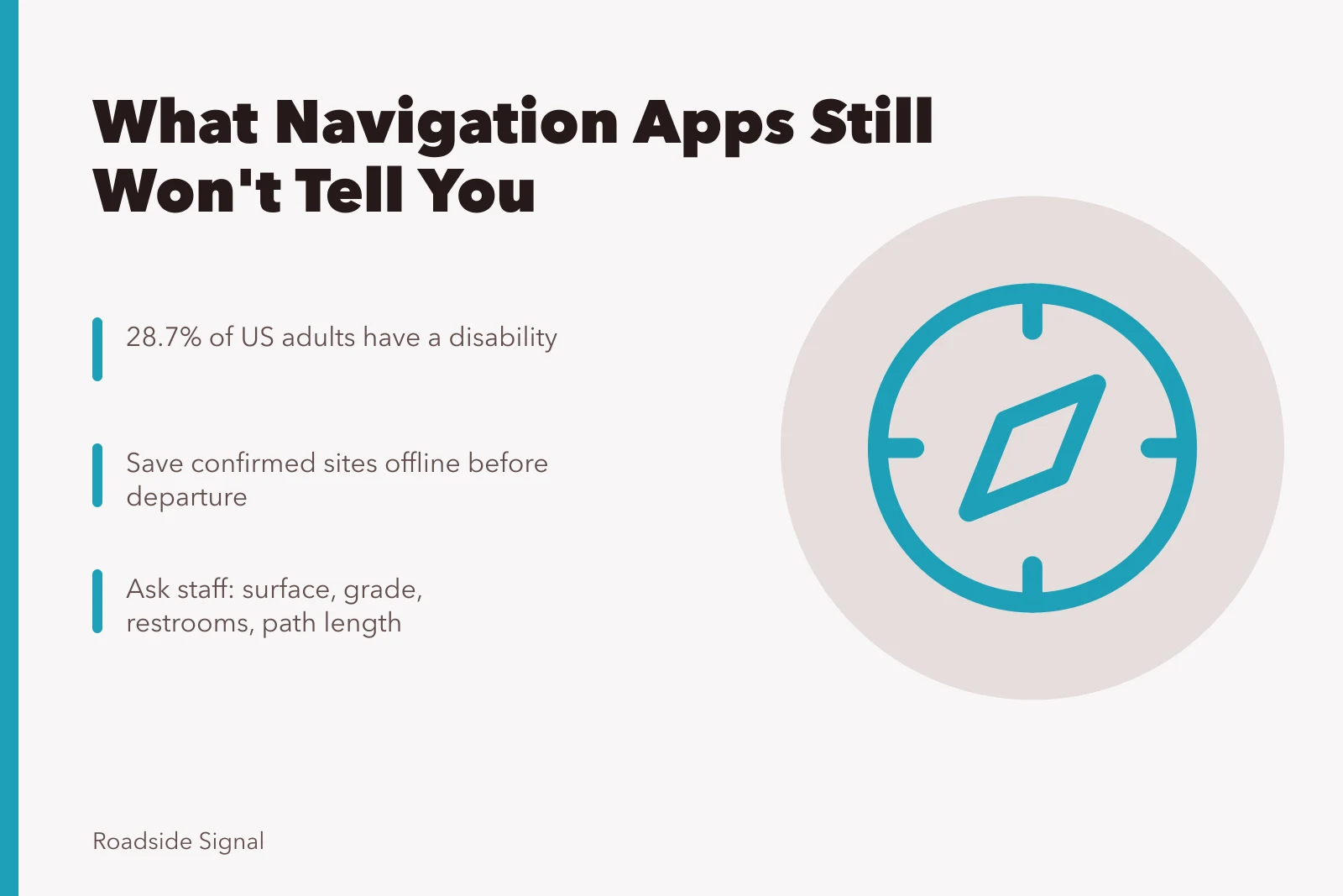
- Save confirmed sites offline before departure, because coverage fails exactly where you need them.
- Improvements happen constantly, so information more than a year old may understate what is there.
Navigation apps get you to a parking lot but are poor at telling you what happens after. For accessible travel, a useful workflow is to gather details from agency sources and enter them into the app yourself.
The tool you use on the road then carries the information you actually checked, not whatever a general database holds.
What agency data gives you that apps do not
Federal site descriptions increasingly carry the measurements travelers actually need. Writing about accessible sites around Tucson, the BLM points out that approximately 28.7 percent of adults in the United States have some type of disability and 12.2 percent have a mobility disability involving serious difficulty walking or climbing stairs.
Disability Travel Data
28.7% of US adults have a disability
12.2% have a mobility disability
Half-mile ADA-compliant interpretive path at a national conservation area
It also describes specific provision such as a half-mile ADA-compliant interpretive path at a national conservation area. That level of detail is what you want in your saved notes, and no general navigation app will supply it.
Assume the data is out of date in your favor
Sites improve, and older listings understate them. A Great American Outdoors Act project at a scenic overlook trail in Wyoming rebuilt the route and, among other changes, added permanent binoculars at the overlook area. The field manager described a safer, more sustainable trail.
If a description reads badly and the page is old, phone before crossing the site off.
Build your own accessible layer
- Create a saved list in the app, one entry per confirmed site.
- Put the measurements in the note fielddistance, surface, grade, restrooms.
- Add the phone number of the managing office to every entry.
- Download the region offline before you leave the last town with coverage.
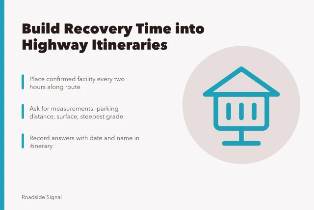
- Mark one confirmed facility roughly every two hours along the route.
The app then becomes a container for good information rather than a source of poor information. Apps also skip who maintains a site, which is the first question in this three-part test for unusual roadside stops.
The details apps almost never carry
Parking surface, distance from the accessible space to the point of interest, whether restrooms have sinks, seating along a path, and whether an accessible route exists between a car park and an entrance. All of these come from the site itself, and staff answer readily when asked specifically rather than in general.
An app icon marking a place as accessible is a label somebody applied once. A field office telling you the path is compacted gravel with a five percent grade is information you can plan a day around.
Plan the gaps, not just the stops
Accessible road travel is shaped by what lies between the confirmed points. Space the day so that the interval between reliable facilities is one the party is comfortable with, then treat everything else as optional. The method is set out in more detail in accessible options to build into a highway itinerary.
The offline testing described in what to look for when reviewing navigation apps matters doubly here, because a saved list that fails without a signal is worse than a printed page.