Features
Six formats for scenic route case studies, from two seasons to services
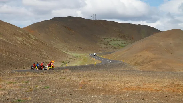
Six formats for scenic route case studies: the same road in two seasons, a single theme trip, an unfinished route, a services study and a one variable repeat.

Section
Features
Six formats for scenic route case studies: the same road in two seasons, a single theme trip, an unfinished route, a services study and a one variable repeat.
Features
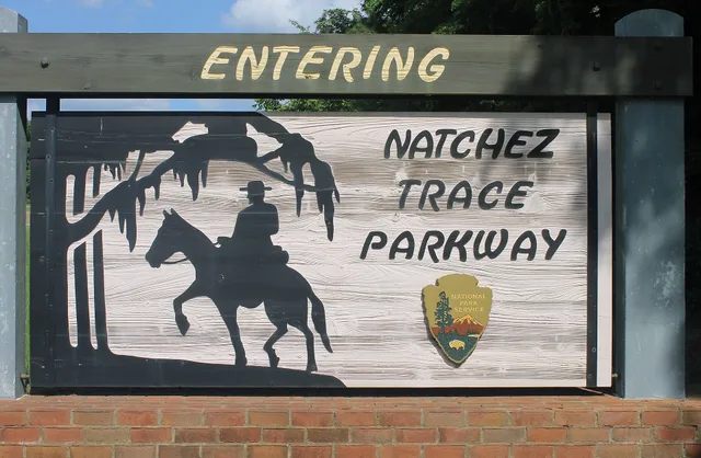
Scenic route case studies field checklist: document the Natchez Trace Parkway with signs, surface frames, timestamps, location data, and a filing example.
Features
Going-to-the-Sun Road and the Badlands Loop Road show how brown byway markers and wayside panels explain glacial and sedimentary rock across one long drive.
Features
How Michigan, Wisconsin and Ohio sign Great Lakes shoreline byways, from Sleeping Bear dune overlooks to the Edmund Fitzgerald bell at Whitefish Point.
Features
Line by line look at what a scenic byway guided day tour quote covers: transport, admissions, permits and gratuities, plus what gets billed on the day.
Features
Limestone in the Flint Hills, Niobrara Chalk near Monument Rocks and Sandhills sand: which Kansas and Nebraska byway signs name each rock and where to pull over.
Features
A sign-by-sign guide to timing scenic byway pull-offs, with stop budgets, a day clock, and the marker types worth braking for on a long drive.
Features
A first-timer's look at the signs, markers and pull-offs on the Trans-Canada and Yellowhead highways through the Canadian Rockies, compared sign by sign.
Features
A west-of-Alberta comparison of Trans-Canada and Yellowhead roadside sign quality, photo value and record-keeping, with source, replica and documentation paths.
Features
Cascade Lakes Scenic Byway near Bend runs on volcanic rock, while Rapid City's Black Hills routes and Needles Highway cut granite. Here is how each is signed.
Features
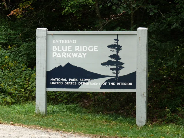
Blue Ridge Parkway signage follows National Park Service rules, while Route 66 markers rely on state surveys. Here is how each system works.
Features
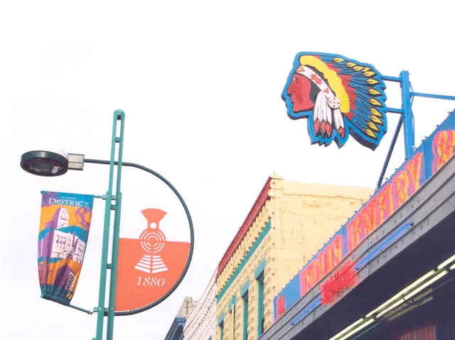
Route 66 neon signs in Flagstaff and Barstow need documenting now. Use National Register listings and SHPO surveys to record them before they go.
Features
Original Route 66 signs include porcelain shields, neon and painted walls. See how materials, mounting hardware and setting help explain historic examples.
Features
How to pick a daily rescue stop on a long road trip: staffed interpretive centers, hatcheries that work in poor weather, and service stops with real facilities.
Features
A roadside trip mistakes field guide for photographers, with safer pull-offs, FAA and site-specific drone rules, wildlife distances, and essential frames.
Features
Road trip photography that puts position before lenses: named refuge photo blinds, pull-offs and boardwalks, what to buy at home, and a simple detour rule.
Features
Roadside attractions field photography tips on light, lens choice, framing, a six-frame shot list, and checking site rules before you shoot.
Features
Season decides a scenic drive: opening windows, wildlife and snow closures, daylight hours, and why late September to October is the best scenic routes time.
Features
Spring flash floods and summer heat decide which named roadside attractions in 2027 are worth the drive, and which months suit each kind of site.
Features
Free stops are the smartest road trip budgets options: no-fee BLM sites like Killpecker Sand Dunes and named urban national wildlife refuges near major cities.
Features
Named ghost towns, overlooks and historic sites that repay a detour, with the access, hours, parking and walking each roadside attraction actually offers.
Features
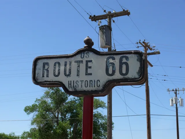
Names vintage American highway signs on Route 66 and other historic corridors, how to date them by hardware and lettering, and trip planning advice.