Features
Blue Ridge Parkway signs compared with US Route 66 markers
Blue Ridge Parkway signage follows National Park Service rules, while Route 66 markers rely on state surveys. Here is how each system works.
What to take away
- Blue Ridge Parkway signage is designed and maintained by the National Park Service, so every sign on the 469-mile ridgeline shares one typeface, one color scheme and one numbering logic.
- Route 66 markers are not a system at all. Each corridor state, plus local groups, designs its own signs, so the shield you photograph in Missouri looks nothing like the one in Arizona.
- Overlook markers and access rules on the parkway are federal. On Route 66, access is a mix of state DOT policy, county road rules and private property lines.
- State historic preservation office surveys are the main record of vintage Route 66 signs, and they vary wildly in age and detail from state to state.
- Photographers get cleaner, more predictable compositions on the parkway and more variety, and more risk, along the Route 66 corridor.
Two sign systems, two agencies, one comparison
The Blue Ridge Parkway is a unit of the National Park Service. That single fact explains almost everything about its signs. One agency writes the manual, orders the panels, replaces the damaged ones and trains the crews. The result is a linear museum of federal roadside design running 469 miles through Virginia and North Carolina.
Route 66 is the opposite arrangement. The highway was decommissioned as a federal route, and no single agency inherited its signs. What remains is a patchwork: state historic route markers, county signs, business signs and hand-painted boards. A driver crossing from Oklahoma into Texas crosses a design boundary, not just a state line.
Both systems sit inside the same national framework. The Federal Highway Administration runs the National Scenic Byways Program, which designates routes and sets the criteria states use when they nominate them. That program is the closest thing to a shared rulebook for scenic route marking in the United States.
The practical difference for a road tripper is planning. Parkway signage tells you where you are and what is next, consistently. Route 66 signage tells you where someone once was, inconsistently. If you want a route you can follow on signs alone, take the parkway. If you want to hunt signs, take the corridor.
Who actually owns the sign
- Parkway signsNational Park Service, maintained by park staff and contractors.
- Route 66 historic markersstate departments of transportation, often with tourism office funding.
- Route 66 business and mural signsprivate owners, towns and preservation groups.
- Byway signs on either routestate DOT, following FHWA designation.
That ownership map matters when a sign disappears. On the parkway, you report it and it comes back. On Route 66, a missing marker may stay missing for years because no one agency is responsible.
Blue Ridge Parkway signage and overlook markers
Start with the official route information from the Blue Ridge Parkway (U.S. National Park Service). The parkway runs from Shenandoah National Park in Virginia to Great Smoky Mountains National Park in North Carolina. Its signing follows the conventions of a national park road rather than a state highway.
Mileposts are the backbone. They begin at zero in Virginia and run to the southern terminus, and nearly every sign, overlook and trailhead is keyed to them. Learn to read mileposts and you can follow the entire route without a map open.
Overlook markers are the second layer. Each overlook carries a name, a milepost reference and often a small interpretive panel. The panels cover geology, Cherokee and Appalachian history, and the engineering of the road itself. They are the reason a slow drive beats a fast one here.
The route and sign locations are mapped in detail by the park service, and the Maps - Blue Ridge Parkway (U.S. National Park Service) page is the right place to check before you go. Cell coverage is thin along long stretches, so download what you need first.
What the signs look like
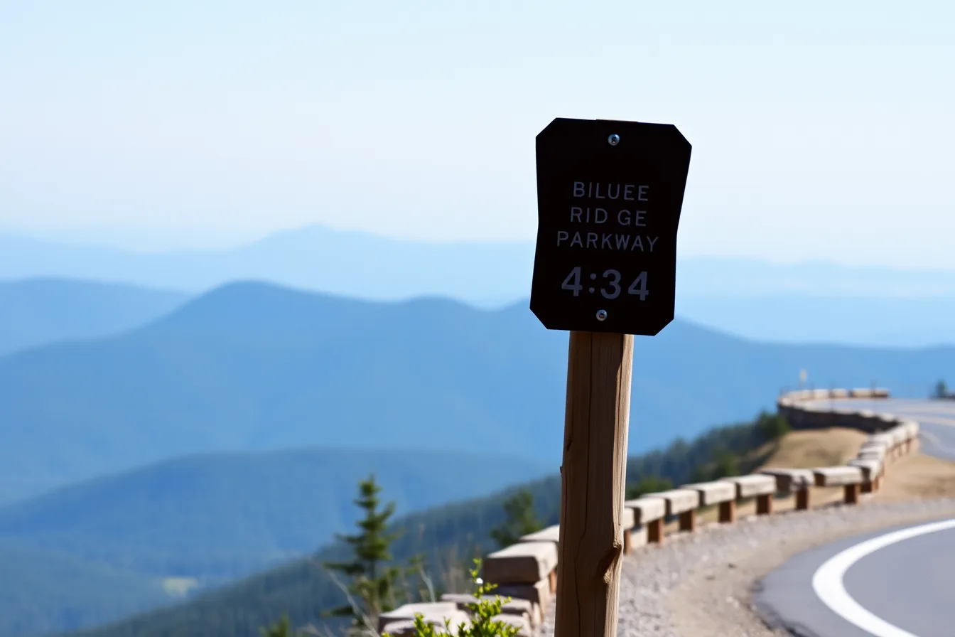
The parkway uses a restrained palette. Brown backgrounds with white lettering dominate interpretive and directional signs. Warning signs follow the standard national shapes: yellow diamonds, orange construction panels, red stop signs.
Route markers for the parkway itself are distinctive and easy to spot. They are not interstate shields and not state route outlines. Once you have seen one, you can pick it out at a distance, which is useful when you are watching for a turn in fading light.
If you want the vocabulary for this kind of sign, our guide on how to read a scenic byway route marker breaks down the shapes and what each one promises. It is worth ten minutes before a long drive.
The example: one overlook, five signs
Pull into an overlook at a mid-parkway milepost and count the signs. You will typically find:
One overlook, five signs
- A small entrance sign naming the overlook.
- A milepost marker on a short post at the edge of the pull-off.
- An interpretive panel with a title, a paragraph of text and a diagram.
- A regulatory sign, often no camping or no overnight parking.
- A boundary or resource protection sign where the federal land ends.
Five signs, one agency, one design language. That consistency is the parkway's signature. It also means a photograph taken at any overlook looks like it belongs to the same series, which is either a gift or a limitation depending on what you want from your images.
Access rules in the Appalachian states
The parkway crosses five Appalachian states in the broader sense: Virginia, West Virginia, North Carolina, Tennessee and Kentucky. Only two of them contain the road itself, but all five matter to anyone planning an Appalachian driving trip around it.
Access to the parkway is free. There are no tolls and no entrance fee for the road. Commercial vehicles are restricted, and the speed limit is low by design, which is why a 469-mile drive takes a full day or more.
Virginia and North Carolina carry the mainline. Entrances connect from the Blue Ridge region, from Shenandoah National Park at the northern end and from the Great Smoky Mountains area at the southern end. Campgrounds, visitor centers and picnic areas are federal facilities with their own posted hours.
West Virginia, Tennessee and Kentucky sit around the edges of the parkway experience. They matter for approach routes, for state scenic byway designations and for the state historic preservation office surveys that document older roadside signs in the region.
Rules that catch drivers out
- No commercial trucks on most of the parkway.
- Low speed limits, strictly enforced.
- Some access points close seasonally, especially at higher elevations.
- Fog and ice can shut sections with little warning.
- Overnight parking is limited to designated campgrounds.
Winter closures are real. Sections of the parkway at elevation close for ice and snow, sometimes for weeks. Check conditions before committing to a long approach from Tennessee or Kentucky.
For a different kind of trip planning, our vintage highway signs route shows how to build a two-day drive around the signs themselves rather than the road. The same logic works on parkway approaches.
Route 66 sign and survey conditions across the corridor
Route 66 runs through eight states, from Illinois to California, and each one signs the historic route differently. Each one also keeps a different record of what survives.
Missouri and Kansas use brown and white historic route markers with the state name. Oklahoma leans heavily on the route's identity, with markers, murals and town welcome signs. Texas mixes state historic markers with county and city signs, and the alignment splits in places.
New Mexico is where the roadside sign culture gets thickest. The Turquoise Trail is a designated scenic byway south of Santa Fe, and it carries its own marker system. The Turquoise Trail roadside signs are a good example of how a state byway can develop a sign identity separate from the old federal route.
Arizona and California close the corridor. Arizona markers are relatively consistent along the preserved alignments. California's surviving route is fragmented, and signage ranges from official historic route markers to business signs on old motel fronts.
What state surveys actually record
State historic preservation offices, known as SHPOs, run the surveys that document vintage roadside signs, including Route 66 markers, neon business signs and painted wall signs. The National Park Service explains the historic preservation framework that SHPOs operate within on its Historic Preservation (U.S. National Park Service) pages.
Survey coverage is uneven. Some states have completed statewide Route 66 sign inventories. Others have partial surveys, or surveys that stop at a county line. A sign that is documented in one state may be entirely unrecorded fifty miles away.
Listed roadside properties appear in the National Register of Historic Places (U.S. National Park Service), which is the federal record of historic places. A listing does not protect a sign, but it does put it on the map for researchers and photographers.
Comparing the two systems
Blue Ridge Parkway
- Owning agency
- National Park Service
- Sign consistency
- High, one design manual
- Route numbering
- Mileposts, 0 to southern terminus
- Overlook markers
- Standardized, interpretive panels
- Access rules
- Federal, uniform, seasonal closures
- Survey record
- Park service documentation
- Best for
- Predictable scenic driving
Route 66 corridor
- Owning agency
- State DOTs, towns, private owners
- Sign consistency
- Low, varies by state and town
- Route numbering
- Historic route markers, no single numbering
- Overlook markers
- Rare, mostly town or business signs
- Access rules
- Mixed state, county and private rules
- Survey record
- State historic preservation office surveys
- Best for
- Sign hunting and photographic variety
Read the table as a planning tool. If you want a route where the signs do the work of guiding you, the left column wins. If you want to find signs that no one else has photographed this year, the right column wins.
What each system tells a roadside photographer
The parkway teaches restraint. Brown and white, consistent lettering, clean backgrounds of forest and stone. A photographer who learns to shoot parkway signs learns composition, because the signs themselves will not carry the image.
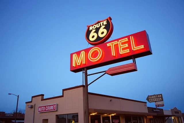
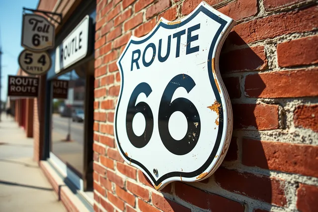
The Route 66 corridor teaches opportunism. A faded marker on a leaning post, a neon sign with three letters dark, a painted wall ad peeling through a later coat of paint. These images carry themselves, but the light and the access are unpredictable.
Light matters differently on each. Parkway overlooks face east and west along the ridgeline, which gives you sunrise and sunset options at predictable mileposts. Route 66 alignments run through towns where buildings block the low sun for much of the day.
Access matters differently too. On the parkway, you can stop at any designated overlook. On Route 66, the best signs are often on private property, and a sign worth photographing is a sign someone owns.
Working the overlap
A few habits transfer between the two systems. Check the interstate vs backroad comparison before you decide how to reach either route, because the approach road shapes what you see first. Then check whether a local guide exists for the segment you plan to drive, since local scenic routes knowledge often beats any national list.
Where the two systems overlap on federal-aid routes
The overlap is the Federal Highway Administration's National Scenic Byways Program. The National Scenic Byways Program - Planning, Environment, & Real Estate - FHWA sets out how routes earn designation, and both the parkway and parts of the Route 66 corridor sit inside that world.
The parkway is a federal road with its own signage authority. Route 66 alignments that carry byway designation get state byway signs, which follow FHWA criteria but are installed and maintained by state departments of transportation.
That means a single Route 66 drive can show you three sign layers: historic route markers, state byway signs and ordinary highway signs. The parkway shows you one, plus interpretive panels.
Federal-aid routes are where the layers stack. A road can be a state highway, a designated scenic byway and a historic route alignment at the same time, and each designation may add its own sign.
For a photographer, the stack is the story. For a driver, the stack is the reason you should read every sign rather than only the ones that name your route.
A short checklist before either drive
- Download offline maps for the full route.
- Check seasonal closures, especially at parkway elevation.
- Note mileposts or town names for the signs you want.
- Confirm whether a sign sits on private property.
- Check state historic preservation office survey records for your segment.
- Carry a paper backup for areas with no cell coverage.