Guides
Why New Mexico's Turquoise Trail roadside signs deserve a slower drive
Turquoise Trail roadside signs reward a slow NM-14 drive between Santa Fe and Albuquerque. Here is how to time each leg and which stops to cut.
What to take away
- The Turquoise Trail follows NM-14 for about 54 miles from Santa Fe to Tijeras Canyon, and the full run into Albuquerque takes 1.5 to 2 hours.
- The signs are the reason to slow downbrown byway markers, hand-painted shop boards in Madrid, and mining plaques in Cerrillos and Golden.
- Madrid is the anchor stop, roughly 45 minutes south of Santa Fe, and it deserves the longest single stop of the day.
- Allow a full day in each direction if you want time to read, or one day total if you only want Madrid.
- Weekday mornings are the quiet window. Weekend afternoons stack cyclists, cars and photo stops in the same pullouts.
What this route assumes
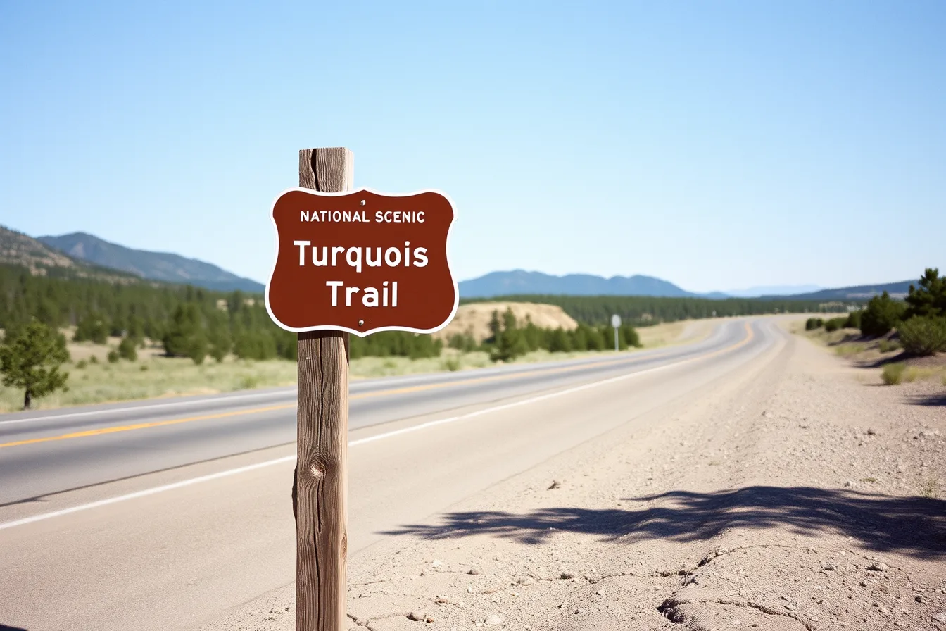
This plan assumes a car, a full tank and no fixed arrival time in Albuquerque. NM-14 is two lanes for most of its length, and services thin out between towns. The road is the Turquoise Trail, and its National Scenic Byway designation is why it carries brown markers rather than the green guide signs you meet on the interstate.
Brown markers flag a recreational or cultural interest area, a category set out in the Manual on Uniform Traffic Control Devices. The hand-painted boards in Madrid sit outside that system. They are private, unregulated and often more interesting than what the state erects.
Shield shapes vary by who paid for them, and a short guide to the scenic byway route marker tells the state version from the national one.
The first day, hour by hour
Start in Santa Fe and work south. Most pullouts sit on the right shoulder in this direction, so the southbound run reads better.
- 8:00 a.m.Leave the Santa Fe Plaza and take Old Santa Fe Trail south to the NM-14 turn. Allow 20 minutes to clear the city.
- 8:20 to 9:10 a.m.The forest stretch. Fifty minutes of curves and pine with few safe pullouts. Traffic bunches here, and this leg rewards patience more than speed.
- 9:10 a.m. to 12:00 p.m.Madrid. Two hours and fifty minutes is not too long. Park at the north end, walk the street once without buying, then double back.
- 12:00 to 12:45 p.m.Cerrillos. Forty-five minutes covers the old storefronts, the mining plaques and the state park trailhead.
- 12:45 to 1:30 p.m.Golden. Forty-five minutes is generous. The community is small and the roadside reading is thin.
The second day
Northbound from Albuquerque, the order reverses. The drive opens in Tijeras Canyon, where I-40 and an older alignment of Route 66 share the corridor. Those first 25 minutes are highway rather than byway.
Golden then arrives before Cerrillos, and Cerrillos before Madrid. Afternoon light falls across the shop fronts instead of onto them, which is a small loss for photographs and a real one for reading hand-painted boards.
Budget 3 to 4 hours northbound with two stops, or 6 hours for all three towns.
Northbound drivers often arrive without a map. This note on paper scenic byway maps explains what interstate welcome centers still keep on the rack.
What to cut when time is short
Golden is the first stop to cut. It is the smallest of the three communities, and its roadside reading is a handful of markers rather than a walkable street. Skipping it saves 45 minutes.
The Cerrillos Hills trailhead is the second cut. A loop there adds 1 to 2 hours and takes you off the pavement, which turns a sign drive into a hike.
Keep Madrid in every version, even a two-hour version. The hand-painted storefronts sit within four blocks of each other and take 30 to 40 minutes to read properly. Park once and walk. The street is short and the traffic is slow.
If you have half a day rather than a full one, the honest move is to leave NM-14 out and take I-40. For the trade in sign quality, this comparison of Interstate vs backroad markers is the blunt version.
Getting between the stops
| Leg | Approximate distance | Drive time |
|---|---|---|
| Santa Fe to Madrid | 24 miles | 40 to 50 minutes |
| Madrid to Cerrillos | 4 miles | 7 to 10 minutes |
| Cerrillos to Golden | 9 miles | 12 to 15 minutes |
| Golden to Tijeras | 17 miles | 25 to 30 minutes |
| Tijeras to Albuquerque | 15 miles | 20 to 25 minutes |
Distances are road-mile approximations and the drive times are illustrative ranges. Weekend afternoons run longer, and the forest stretch is the slow part.
The National Scenic Byways Program keeps the designation list that put this route on the map, and its marker standards travel with it.