Guides
What small green Colorado backroad signs mean and who keeps them
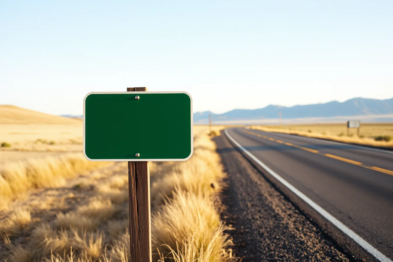
Small green Colorado backroad signs are guide panels set by counties or CDOT, and each marker tells you which agency maintains the road ahead.
What to take away
- Green is the federal guidance color, so a small green panel tells you where a road goes, never what its surface or winter status is.
- Read the panel in a fixed orderagency, route number, destination, arrow. The agency line tells you who to call about the road.
- Counties sign county roads and CDOT signs state highways, so one byway can switch owners at a county line.
- Reflective sheeting is what makes a panel readable at night; hail and plow strikes, not sun, usually end a panel's life.
- A green sign means signed, not maintained to the standard you expect. Confirm road status with the county or land agency before a long backroad run.
What the small green Colorado backroad signs actually say
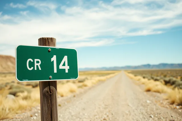
A small green panel on a two-lane road outside Denver is a guide sign, not a warning sign. It carries a road name, a destination, an arrow, sometimes a distance or route number. The color is the federal standard for guidance, the same green that appears on interstate exit signs.
The panels are small because the roads are small. A county can mount a 24 by 30 inch panel on a single post where a state highway would need a larger structure. Lettering is standard highway gothic, which is why a county panel and a state panel look like relatives.
Green tells you the sign exists to help you find your way. It does not tell you the surface, the grade, or the winter maintenance status. That gap matters on Colorado backroads, where a signed county road can turn to dirt within a mile.
Some panels carry a county name at the top, some carry a small route marker, and some carry both where a county road meets a state highway. Most are aluminum with a reflective overlay. Older ones are steel, and a few carry a county decal instead of a name line.
If you have wondered what those small green signs on Colorado backroads mean, the short answer is that they are the state's quiet way of naming a road that would otherwise be anonymous.
County panels versus CDOT green guide signs
Colorado county green guide signs and Colorado Department of Transportation guide signs share a color and a purpose, but they are not the same product. Counties install and maintain signs on county roads. CDOT installs and maintains signs on state highways and interstate ramps.
The difference shows in the hardware. A county panel often sits on a wooden post or a light metal post with a simple bracket. A CDOT panel on a state highway is usually on a breakaway metal post that meets federal crash standards.
The naming differs too. CDOT signs tend to carry route numbers and control cities, the larger destinations that tell you where the highway is heading. County signs tend to carry local road names, rural landmarks, and the next small town.
County green guide sign
- Who installs it
- County road department
- Typical location
- County roads, rural intersections
- Usual message
- Road name, local destination
- Post type
- Wood or light metal
- Replacement trigger
- Damage, fading, road rename
CDOT green guide sign
- Who installs it
- Colorado Department of Transportation
- Typical location
- State highways, interstate ramps
- Usual message
- Route number, control city
- Post type
- Breakaway metal
- Replacement trigger
- Damage, fading, route change
A driver crossing from a county road onto a state highway will often see both systems within a few hundred feet. The county panel names the road you are leaving. The CDOT panel names the highway you are entering.
Colorado scenic byways sit between the two systems. A designated byway may run on county roads, state highways, or both, so one route can carry county panels in one stretch and CDOT panels in the next.
Who fabricates and replaces each panel
Who fabricates and replaces panels depends on the road. Counties buy from private sign fabricators, often regional shops that cut aluminum, apply reflective sheeting, and deliver finished panels. CDOT buys through its own contracting process and its own sign shops.
The reflective sheeting is the part that matters at night. Federal sign visibility standards for byways and highways set minimum reflectivity so a panel reads under headlights. That is why an old green sign can look almost black in a photograph but still reflect when your lights hit it.
The Federal Highway Administration publishes the core highway topics and standards that state and county sign programs follow. Those standards cover color, letter height, and placement, which is why a green guide sign in Colorado looks like a green guide sign in Utah. You can read the agency's core highway topics for the framework behind sign and route documentation.
Replacement usually follows damage or fading. A plow strike, a windstorm, or a faded panel triggers a work order. A road rename can trigger replacement too, especially when a county renames a road for a local figure or a geographic feature.
Panels usually last a decade or more before the sheeting dulls. Hail, common along the Front Range, dents and pits them faster than sun does. A county with a tight sign budget may patch a panel twice before it orders a new one.
What Denver-area drivers should read from a sign
A Denver-area driver leaving the metro on a weekend should read each green panel in a fixed order. Read the agency first, then the route number, then the destination. That order tells you who maintains the road and where it goes.
- Check the top of the panel for a county name or a state route marker.
- Read the route number and match it to your map or app.
- Read the destination and note whether it is a town, a reservoir, or a landmark.
- Note the arrow direction and the distance if one is posted.
- Compare the panel to the road surface ahead before you commit.
A worked example helps. Suppose you are west of Denver and see a small green panel reading "County Road 73, Evergreen" with a left arrow.
The panel tells you the road is a county road, the destination is Evergreen, and the turn is left. It does not tell you whether the road is paved the whole way, whether it is plowed in winter, or whether it dead-ends.
For a driver comparing options, the choice between an interstate and a backroad is often a choice between speed and a view. If you are weighing interstate vs backroad routes, the green panels are the first clue about what the backroad actually offers.
Reading route markers against USGS topographic maps
A green panel and a USGS topographic map should agree. When they do not, the map is usually older or the sign is newer. Counties rename roads, and maps lag.
The U.S. Board on Geographic Names, part of the U.S. Geological Survey, approves official place names. Its Rocky Mountain region records cover the names you see on Colorado byway signs. The board's work on place names along byways and natural features is why a sign and a map often use the same spelling.
A route marker is a different animal from a guide sign. The marker identifies the route. The guide sign tells you where the route goes. A scenic byway route marker is a specific type, often paired with a name like a Colorado scenic byway designation.
Colorado scenic byways carry their own markers and their own guide signs. The state's byway program, the federal National Scenic Byways Program, and the Forest Service and BLM byway systems all place signs on routes they recognize. The markers help you follow a designated route across county lines.
GNIS is the database behind those decisions, and it is what mapmakers query when they label a creek, a summit, or a rural road. When a green panel and a map disagree on a name, check the map date. A topographic map from the 1970s may show a name that a county changed later. The sign reflects current practice.
When a green sign means a maintained road and when it does not
A green sign means the road is signed. It does not always mean the road is maintained to a standard you expect. Counties maintain their roads, but maintenance levels vary by budget, season, and road class.
A paved county road with a green guide sign is usually plowed in winter, at least after storms. A gravel county road with the same sign may be graded but not plowed. Knowing what to pack when a trip centers on scenic routes matters even on signed roads, because the surface behind the sign can change fast.
The sign color does not change with maintenance status. That is the trap. Drivers see green and assume a level of service that the road may not have. The Federal Highway Administration's infrastructure pages cover how road standards and route signing work at the federal level, which helps explain why signing and maintenance are separate decisions.
Sign visibility standards for byways, described in FHWA research on sign visibility, address how well a panel reads at distance and at night. They do not address whether the road beyond the sign is passable.
A green marker on a Forest Service road tells you the agency signed the route, not that a passenger car should drive it. Seasonal gates, washouts, and snowpack close plenty of signed roads every year.
Before a long backroad trip, check the road's status with the county or the land agency. If you are deciding which season suits a scenic routes trip, remember that a green sign in July may lead to a road that is impassable in January.
Common questions
Do green signs on Colorado backroads mean the road is paved?
No. Green is a guidance color, not a surface or maintenance rating. A green panel can sit on a paved road, a gravel road, or a dirt road.
Who decides what a county green guide sign says?
Usually the county road department, sometimes with input from the county commission. CDOT sets the standard for signs on state highways.
Why do some small green signs have a route number and others only a road name?
Route numbers identify state or county routes. Road names identify local roads. The mix depends on which agency maintains the road.
Can I trust a green sign to match my map?
Usually, but old maps lag behind renames. Check the map date and compare the sign's spelling with a current source.