Guides
What do those small green signs on Colorado backroads mean?
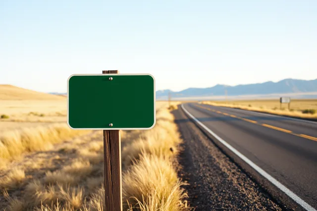
Colorado backroad green sign meaning: those small green markers on gravel roads are county road numbers, not state rules. Here is how to read them.
What to take away
- Green is the guidance color in the American sign standard. It says where a road goes, not what the law requires.
- The small green rectangles on Colorado gravel are county road markers, and each county sets its own numbering.
- Colorado adopts that manual with a state supplement, so colors stay consistent while names do not.
- Mapping apps often show a county road as an unnamed line, which makes the painted marker the better record.
What actually differs
Green is the guide color in the American sign system. The Manual on Uniform Traffic Control Devices assigns green to signs that give destinations, distances and route guidance. White carries rules, yellow carries warnings, blue points to services, and brown marks recreation and culture. A green sign is a statement about direction, not an instruction.
Colorado adopts that manual and adds a state supplement for local conditions. The Federal Highway Administration keeps the federal design standards behind the panels themselves, so a county marker and a state highway sign share color conventions even when they name different things.
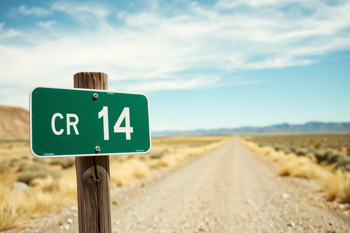
The small rectangle reading CR 14, or County Road 14, is the most common green sign on Colorado dirt. A county road department installs it. There is no national county route marker the way there is an Interstate shield, so numbering is a local decision.
Numbering runs two ways. Several eastern plains counties number roads by distance from a county line, so CR 12 sits roughly twelve miles in. Many mountain counties number roads in the order they were platted, which leaves gaps and repeats.
That pattern decides whether a route flows or doubles back, and how highway itinerary planning works treats it as the first field on any entry.
A small green marker names a road. It does not promise the road continues, stays public, or suits your car.
The criteria matrix
Four green signs turn up on a Colorado backroad day, installed by different agencies.
Four green signs compared
Small green rectangle
- Installed by
- County road department
- Names
- County road and grid position
- Leaves out
- Surface, gates, closures
Green name blade
- Installed by
- County
- Names
- Road's local name
- Leaves out
- County number behind it
Large green panel
- Installed by
- Colorado DOT
- Names
- Destinations and mileage
- Leaves out
- Unpaved roads it crosses
Byway marker
- Installed by
- Byway program
- Names
- Designated scenic route
- Leaves out
- Whether paved throughout
The National Scenic Byways Program explains how a route earns designation and what its marker claims. For a driver who needs a firm surface, travel with access needs covers how to plan the day around paved connectors instead of byway names.
Where each one is the right answer
The county number marker is right when you are counting miles along a grid road. A name blade is right when your destination is written as a name. Large green panels carry the mileage you need on a state highway. Byway markers tell you that you are still on the designated route.
None of them says whether the road ahead is passable, which is what most drivers want to know. Treat the marker as a name and the county road report as the fact, then decide with the vehicle you actually brought.
What they all share
Every one of these signs is silent on surface, season and access. A green marker can sit at the mouth of a road that is graded twice a year and gated the rest of it. Apps often show the same road as a thin grey line without a name, because counties do not all send road names to map vendors.
When two sources disagree, three steps help:
- Read color and shape first, because green means guidance and nothing else.
- Find the smallest name on the sign, usually the county road number.
- Check that number against the county map or GIS page before you trust the app.
A base town near the county line saves more time than a faster car, because where you sleep matters more than map mileage on a day like this.
How to choose between the close calls
Rank the sources when they conflict. The physical sign beats the app, because the county painted it for the road it maintains. The county map beats the sign, because signs get moved, fade, and stay up after a road is renamed.
Byway markers are the exception. They describe a corridor rather than one road, so a byway sign and a county number can both be correct at the same intersection. Follow the county number to stay on your planned road, and the byway marker to stay on the route you came for.
If you plan to photograph the markers, spend on position, not glass: early light on a green rectangle beats a longer lens from the car.