Guides
Interstate vs backroad: which road signs point to the better scenic detour?
Interstate vs backroad scenic detour signs compared on Kansas and Nebraska corridors: what blue exit signs promise and what US route markers actually deliver.
What to take away
- Blue interstate exit signs answer what sits at this exit. They do not answer what is worth seeing.
- The better payoffs on the Kansas and Nebraska corridors sit on the parallel backroads: US 40 and K-177 in Kansas, US 30 and NE-2 in Nebraska.
- Brown recreational signs and scenic byway markers confirm that a site exists. Neither is a quality rating.
- The difference that matters is time. An illustrative backroad detour runs 20 to 60 minutes longer than the interstate.
- Choose by what you want in the next 90 minutes, not by which line on the map looks greener.
Two sign systems, two jobs
Interstate signing is built for decisions made at 75 mph. Blue Specific Service signs list gas, food, lodging and camping at the next interchange. Their blue background and letter heights are set by the Manual on Uniform Traffic Control Devices so they read at speed.
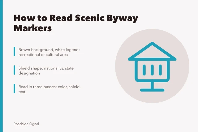
Backroad signing carries a different load. A white U.S. route shield, the marker of the United States Numbered Highway System, says the road keeps going. A scenic byway marker, assigned through the National Scenic Byways Program, is the nearest thing a backroad has to a promise.
The criteria matrix
Where it appears
- Blue Specific Service sign
- Interstate interchanges
- Brown recreational sign
- Interstates and state routes
- Scenic byway marker
- US and state routes
- White U.S. route shield
- US highways
What it tells you
- Blue Specific Service sign
- Services exist at this exit
- Brown recreational sign
- A named site exists nearby
- Scenic byway marker
- A corridor has been designated
- White U.S. route shield
- The road continues through
Typical payoff
- Blue Specific Service sign
- 2 to 5 minutes off the ramp
- Brown recreational sign
- 10 to 30 minutes
- Scenic byway marker
- One to three hours of driving
- White U.S. route shield
- No promise at all
Trip length it suits
- Blue Specific Service sign
- A fuel and restroom break
- Brown recreational sign
- A one to two hour stop
- Scenic byway marker
- A half day or more
- White U.S. route shield
- Through travel
Read the columns left to right before you trust a sign. A blue sign is a service claim. A byway marker is a corridor claim, and corridor claims take hours to test.
Sign types and what they promise
Blue service sign
- Where
- Interstate interchanges
- Tells you
- Services at this exit
- Payoff
- 2 to 5 minutes
- Trip length
- Fuel and restroom break
Brown rec sign
- Where
- Interstates, state routes
- Tells you
- Named site nearby
- Payoff
- 10 to 30 minutes
- Trip length
- One to two hour stop
Byway marker
- Where
- US and state routes
- Tells you
- Corridor designated
- Payoff
- 1 to 3 hours
- Trip length
- Half day or more
US route shield
- Where
- US highways
- Tells you
- Road continues through
- Payoff
- No promise
- Trip length
- Through travel
Where each sign type is the right answer
The blue interstate sign is the right answer when you need fuel, a restroom or a bed within 30 minutes. It is the wrong answer when the afternoon is free, because the businesses it lists cluster at interchanges rather than at viewpoints. Many roadside trip mistakes start when a driver reads a blue sign as a scenic recommendation.
The brown recreational sign is the right answer when you have 90 minutes and no plan. Kansas and Nebraska both use brown signing for state historic sites and wildlife areas, and the drive off the ramp is usually short.
The byway marker is the right answer when the driving itself is the point. K-177 through the Flint Hills and NE-2 across the Sandhills are designated corridors, and both reward a half day rather than a quick exit.
What both systems share
None of these signs tells you whether the road is open or the site maintained. Signing is jurisdictional, and a state DOT keeps its markers long after the attraction behind them closes.
No marker states where the light will fall at four in the afternoon, so shooting roadside attractions leans on an almanac before a map.
That is the shared limitation. Every option here measures existence rather than quality. A designated byway can have no shoulder, no passing lane and no services for 60 miles. A brown sign can point to a museum that opens three days a week.
A sign is a claim that something exists. It is never a rating.
How to choose between the close calls
- Identify the sign family first. Blue means services, brown means a site, and a shield means only that the road keeps going.
- Check the distance from the exit to the stop, not the distance the sign implies. A brown sign placed two miles before a county road means two miles of county road.
- Confirm the season before you commit. Many state historic sites in Kansas and Nebraska run seasonal hours.
- Compare the time cost against the interstate. When a detour adds more than 45 minutes each way, how highway itinerary planning works treats it as the day's main leg instead of an add-on.
- Keep the return simple. On I-70 and I-80 you can rejoin the interstate at the next interchange rather than doubling back.