Guides
Highway Itinerary Planning: How It Works on Scenic Routes
Highway itinerary planning: how it works on scenic routes, with five fields, access checks, practical fallbacks and mileposts to connect roadside stops.
What to take away
- An itinerary is a timetable with fallbacks, not a list of places you would like to see.
- Every entry needs five fieldswhere, when, how long, what if not, and who confirmed it.
- Site hours and office hours are different things, and mixing them up ruins mornings.
- The plan exists to be changed. Its job is to make the change cheap.
People say itinerary when they mean wish list. The difference matters, because a wish list cannot tell you whether Thursday works. For highway itinerary planning, how it works is straightforward: turn that wish list into a small document with a specific structure. On a scenic route, the structure connects attractions, access checks, and the signs or mileposts that help you find each stop.
What an itinerary actually contains
Each entry needs five fields. An entry missing any of them is a hope rather than a plan:
- Where:name the scenic route and the stop.
- When:set the planned arrival window and check it against current access information.
- How long:reserve the time you intend to spend there and allow time to rejoin the route.
- What if not:name what you will skip or where you will go instead if access changes or the day runs late.
- Who confirmed it:record the official source or person who checked the details, and when.
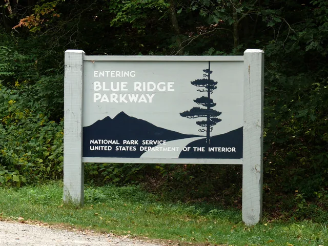
Example entry: Where: Mabry Mill on the Blue Ridge Parkway. When: before lunch, after checking current access information. How long: until lunch. What if not: skip the mill and continue to the next confirmed stop on the Parkway. Who confirmed it: National Park Service Blue Ridge Parkway information, checked the evening before.
Five fields every entry needs
- Wherespecific place, address or coordinates
- Whenarrival time, not departure time
- How longrealistic dwell time with parking
- What if notfallback if closed or full
- Who confirmed itsource and date checked
For the confirmation field, record the office or official information source, what it confirmed (hours, access, or a reservation), and when you checked. A phone call in March is not a confirmation for a visit in September.
Hours are more complicated than they look
Published hours often come in pairs, and the two differ. J. Clark Salyer National Wildlife Refuge in North Dakota is a plain case.
Refuge hours vs office hours
Refuge hours
- Days
- Daily
- Open
- 5:00 am
- Close
- 10:00 pm
- What you get
- The ground
Office hours
- Days
- Monday to Friday
- Open
- 8:00 am
- Close
- 4:30 pm
- What you get
- Map, permit, person
Its page lists refuge hours of 5:00 am to 10:00 pm daily and office hours of 8:00 am to 4:30 pm Monday to Friday. The office is two miles north of Upham off Highway 14.
If your plan needs a map or a person, you need office hours. If you just need access to the grounds, you have a much wider window. Read every site page for that distinction, plus last entry times, seasonal dates and weekly closures.
Tools help with booking, not with sequencing
The Recreation.gov mobile app launched in 2019 and is used across twelve partner agencies. It helps visitors find and reserve campsites and check location details, including at many BLM-managed sites.
That is useful for the booking half. The sequencing half—deciding which roadside attractions fit the route, what order to visit them in, and how much slack to leave—is still yours.
Buffers, and where to spend them
Put a buffer after anything you do not control: a road segment with uncertain conditions, a scenic overlook stop that runs long, or a staffed attraction with limited hours. Do not put buffers at the end of the day, where they get absorbed silently.
Hold one hour of unassigned time per driving day, in early afternoon. Add twenty percent on any leg with unknown surface.
Write the fallbacks before you leave
For each day, name one stop to drop and one alternative bed, a ten-minute kitchen table task that prevents the roadside argument.
On the Blue Ridge Parkway, milepost markers are roadside signs that identify locations along the route. Record a stop's milepost in its entry, then use that signage to match your itinerary to the road. Mabry Mill is a roadside attraction on the Parkway; check current National Park Service information before fixing it in the day's sequence.
Common questions
How detailed should an itinerary be?
Paper or app?
How far ahead should I confirm hours?
What is the most common planning error?
In this guide
- USA travel with access needs: spacing stops on a highway itineraryUSA travel with access needs: build a highway day from confirmed accessible stops, using the BLM map, the Blue Ridge Parkway milepost list and the Access Pass.
- Highway itinerary planning: a two-day loop with buffersHighway itinerary planning for two days: pick a 120 to 160 mile loop, set the overnight point first, and place the buffers where they survive.
- 5 Highway Itinerary Planning Tips for Scenic DrivesHighway itinerary planning tips for scenic drives: set a repeatable daily target, plan wildlife margins, and follow a two-day Blue Ridge Parkway example.
- USA Travel: Camping at Sand Wash and Shelf RoadUSA travel readers can compare camping at Sand Wash and Shelf Road, including dirt-road access, campsite facilities, and Shelf Road's Gold Belt Tour history.