Guides
Roadside navigation apps itinerary: a field-test template
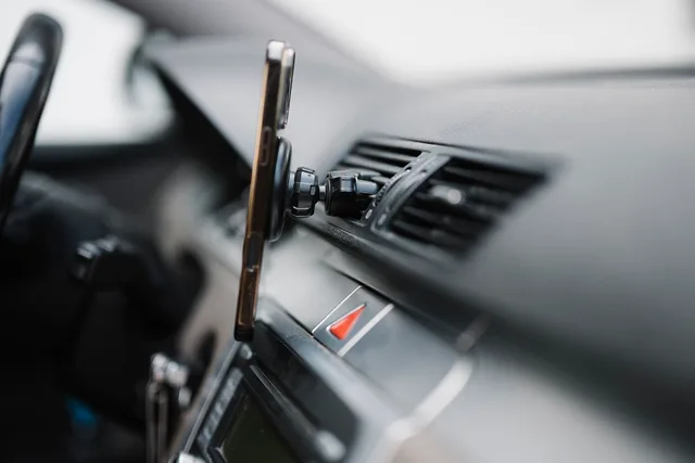
A roadside navigation apps itinerary template for testing signal loss, offline maps, service stops and unpaved roads, with Oregon examples and a field log.

Desk
What is beside the road, who built it, and whether it is still standing.
Guides
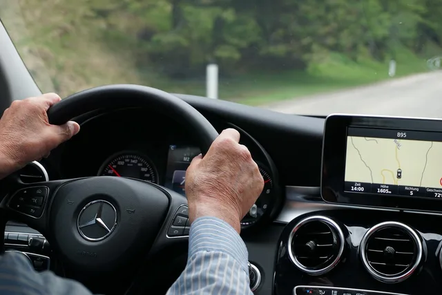
A roadside navigation apps itinerary template for testing signal loss, offline maps, service stops and unpaved roads, with Oregon examples and a field log.
Features
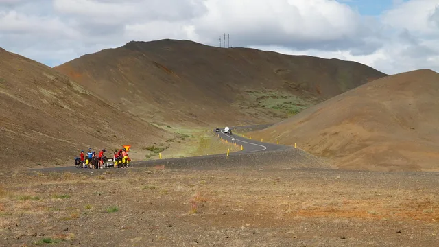
Cascade Lakes Scenic Byway near Bend runs on volcanic rock, while Rapid City's Black Hills routes and Needles Highway cut granite. Here is how each is signed.
Features
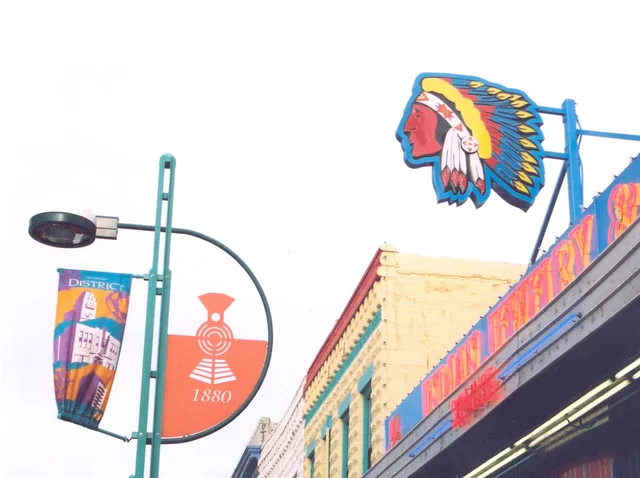
Route 66 neon signs in Flagstaff and Barstow need documenting now. Use National Register listings and SHPO surveys to record them before they go.
Guides
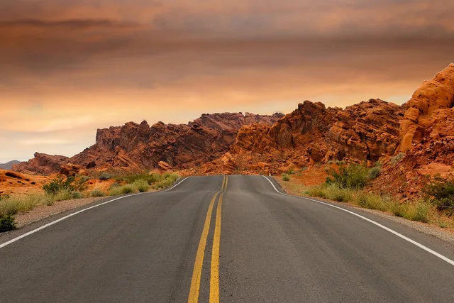
Three signed red rock corridors out of Moab and Santa Fe plus the highway agencies that post and maintain each route marker along these scenic byways.
Features
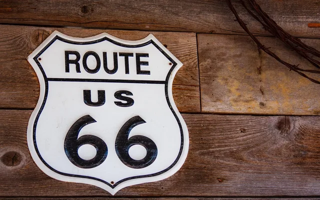
Original Route 66 signs include porcelain shields, neon and painted walls. See how materials, mounting hardware and setting help explain historic examples.
Guides
Highway itinerary planning for two days: pick a 120 to 160 mile loop, set the overnight point first, and place the buffers where they survive.
Guides
A two-day driving plan for old highway signage, built around bypassed alignments, painted walls and one interpretive anchor, with timings that hold up.
Reviews
A cost-first method: build a self-drive baseline for any guided tour, price their inclusions, and spot what's free. Compare road trip budgets on your own terms.
Reviews
A roadside attractions comparison starts with the right questions: check stop time, route access, timing, group size, guide details and included fees.