Guides
Part of Useful roadside navigation apps compared with pretty but useless ones
Can a two-day test route actually expose roadside navigation apps weak spots?
A two-day driving plan designed to test navigation apps in the field: a coverage gap, an unpaved leg, a services town and one night with no signal at all.
What to take away
- Test your navigation setup on a short trip before relying on it for a long one.
- Build the two days around one coverage gap, one unpaved leg and one town with services.
- Spend one night somewhere genuinely dark and unconnected. That is where apps show their limits.
- Write down what failed each evening. That log is the real output of the weekend.
This itinerary has an unusual purpose: it is designed to break your navigation setup somewhere safe, so it does not break somewhere that matters. The shape works on any byway with a services town in the middle.
Day one, morning: the known-good leg
Start on a route where you have coverage, so you can compare apps against reality. Note where the signal drops, which app keeps searching offline, and whether saved places survive. Do this while everything is easy, because you are establishing a baseline rather than testing endurance.
Record the time at each junction in your notes as well. By afternoon, you will know how far your real progress runs behind the estimates each app is giving you.
Day one, afternoon: the services town
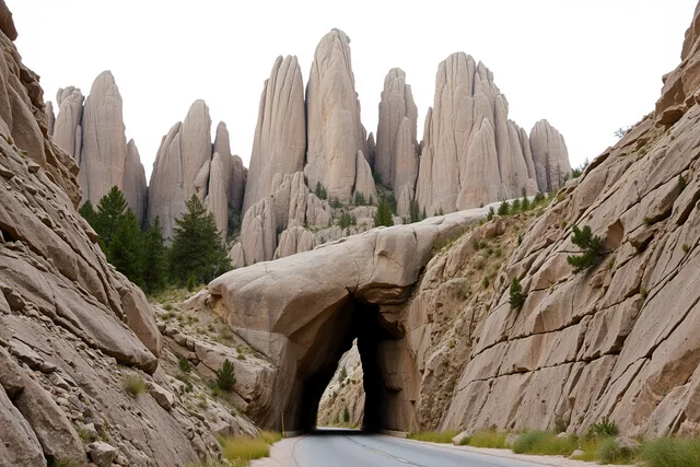
Pick a byway with a single town that has fuel, food and beds, and use it as the hinge of the plan. Oregon's Sutton Mountain Back Country Byway is a good model. The route states its details plainly: 41 miles, open year round.
It has restrooms and drinking water at the nearby national monument, water unavailable during winter months, and fuel, food and lodging in the town of Mitchell. Primitive camping sits at a recreation site reached by a 1.4 mile spur road with a restroom and no water.
Download everything for the next day here, while you still have a signal and a socket.
Day one, evening: the dark night
Spend the night somewhere with no coverage and no lighting. This part teaches most, and it has its own reward.
The Fish and Wildlife Service describes Hart Mountain National Antelope Refuge in Oregon as part of the largest dark sky sanctuary in the world. Dark skies there benefit both people and high desert wildlife. Such a place immediately shows which tools work without a network.
Day two, morning: the unpaved leg
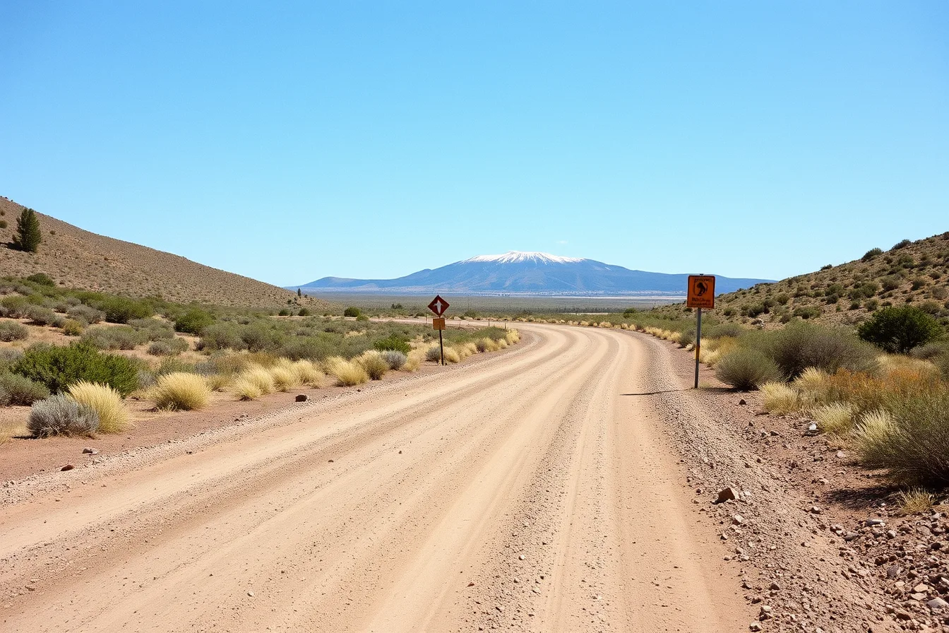
Take a graded or unpaved route, ideally one the managing agency describes as needing high clearance, and drive it slowly. Watch what your apps say about it: whether they name the surface, whether they suggest it as a through route, and whether their estimated time is anywhere near reality.
Turn back rather than continue if conditions exceed your vehicle. The point of the exercise is the information, not the completion.
Day two, afternoon: the debrief
Before you get home, write down four things.
Day two debrief
- Which app kept working with no signal, and what it lost.
- Where the estimated times were wrong, and by how much.
- Which points of interest were misplaced or missing.
- What you would carry next time that you did not this time.
That list is the whole purpose of the weekend. Feed it back into the criteria in what to look for when reviewing navigation apps, and if anyone in the party has access needs, prepare the saved lists first using accessible options for travelers using navigation apps.