Maintenance
Part of Highway Itinerary Planning: How It Works on Scenic Routes
5 Highway Itinerary Planning Tips for Scenic Drives
Highway itinerary planning tips for scenic drives: set a repeatable daily target, plan wildlife margins, and follow a two-day Blue Ridge Parkway example.
Five highway itinerary planning notes
- Set a daily distance you could repeat comfortably for four days; reduce the first day's target by a quarter for packing, traffic, and an unfamiliar vehicle.
- In remote country, assume help is far away and plan the margin before you need it: on the Blue Ridge Parkway, phones and GPS fail in many places and rangers do not deliver gas.
- Wildlife on the road is a safety issue first and a photograph second; slow down at dawn and dusk.
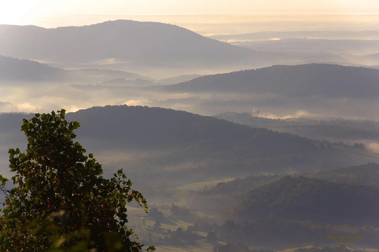
- On the Blue Ridge Parkway, plan stops by milepost, make Mabry Mill (milepost 176.1) a planned roadside stop, and treat brown recreation and cultural-interest signs as cues to attractions, not substitutes for checking the route.
- Leave one thing out of every day and keep a simple log of departure, arrival, and fuel stops.
These highway itinerary planning tips address the three places a first long highway trip usually goes wrong: too many miles, too little margin, and too much confidence in a schedule built at home. None of that is inexperience exactly. It is a set of habits nobody tells you about.
Distance: cut it, then cut it again
New drivers plan by hours and forget that hours behind the wheel are not equal. The eighth hour costs three times what the second one does.
Daily distance reduction
- Repeatable daily figure100%
- First day75%
Set a daily figure you would repeat for four days running. Reduce it by a quarter for the first day, with packing, traffic and an unfamiliar vehicle load.
Signs you have overreached: you are eating lunch in the car every day, and the interesting stops all happen after dark.
Remote country changes the arithmetic
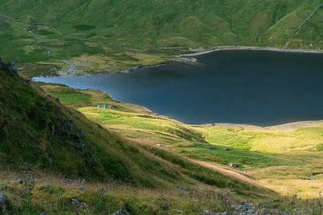
The consequence of a mistake goes up sharply once services thin out. In Alaska's White Mountains National Recreation Area, the BLM maintains around 250 miles of trails and a dozen public use cabins. A recreation planner there describes an area that demands respect because weather can turn quickly and help can be scarce.
The mental model to carry: not that remote places are dangerous, but that the margin between a problem and an emergency is thinner.
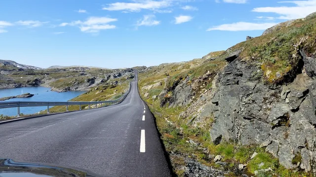
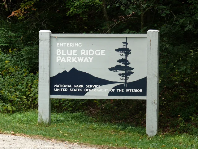
A scenic parkway can be remote in the same way. The National Park Service's Blue Ridge Parkway FAQ warns that cell phones do not work in many locations along the Parkway and GPS is sometimes unreliable, and that rangers do not deliver gas, pull vehicles from mud, or provide vehicle maintenance assistance. For fuel and lodging it points drivers to the Blue Ridge Parkway Directory and Travel Planner, which lists services in local communities. The same page notes 26 tunnels along the Parkway, one in Virginia and the rest in North Carolina, mostly south of Asheville, so RV drivers should check tunnel heights before choosing that section. Its safety advice doubles as a pacing rule: obey the speed limit and pull into overlooks to enjoy the scenery and let other drivers pass.
Remote country margins
- Full fuel earlier than feels necessary
- Water for a day longer than planned
- Someone at home knows the route
Wildlife is part of highway planning
Animals on and near the road are routine on long drives. The correct reaction is often counterintuitive. The Fish and Wildlife Service's guidance on helping a turtle cross a road is a good example of thinking ahead.
Its advice is to move it to the far side in the same direction it was already going, sliding it on a car mat rather than lifting it, and only after watching for oncoming vehicles and pulling over properly.
Decide before the moment whether you will stop, and never create a second hazard to solve the first. Slow down at dawn and dusk, watch verges rather than the road surface, and remember that where there is one animal there is usually another.
What first-timers should leave out
- The famous place that is three hours off route.
- Any stop that only works if the previous one runs to time.
- A sunrise start on the morning after a long drive.
- Two long walks on the same day.
- Booking every night in advance on a first trip.
Keep a simple log
Note departure times, arrival times and fuel stops for the first two days. By day three you will know your real average speed, your real dwell time and your real appetite for driving. That log is worth more than any general advice, and it makes the next trip much easier to plan.
Use the linked guide to how highway itinerary planning works for the planning method. For a two-day example, start on the Blue Ridge Parkway near Asheville, where the National Park Service lists the Folk Art Center and the Parkway Visitor Center at milepost 382, and travel north toward the Linn Cove Viaduct at milepost 304.4 on day one, leaving time for overlooks such as Linville Falls at milepost 316.4; stay overnight near Boone. Continue north on day two and plan a stop at Mabry Mill at milepost 176.1. Writing the mileposts into the plan tells you how much parkway each day covers before you leave.
Brown signs are worth knowing on any scenic drive. Under the federal sign manual, recreational and cultural interest area symbol signs are square or rectangular, with a white symbol or message and white border on a brown background, and should be 600 x 600 mm (24 x 24 in). Treat them as cues to stops rather than a substitute for checking your route.
The same planning works on other byways. The National Park Service notes that Route 66 in Oklahoma was designated a National Scenic Byway in the late 1990s, and it names roadside landmarks such as the Blue Whale in Catoosa and Galloway's Totem Poles in Foyil: fixed stops you can space a day around. For another worked version, see a two-day highway itinerary.