Maintenance
Part of Useful roadside navigation apps compared with pretty but useless ones
New drivers trust estimated times that roadside navigation apps get wrong
What first-time visitors miss about roadside navigation apps: the assumptions that catch out new road trippers using navigation apps, from surface and remoteness.
What to take away
- A route on a screen tells you the road exists, not what it is made of or where it goes through.
- Estimated arrival times assume conditions the road may not have.
- A photograph or virtual tour is preparation, not a substitute for arriving.
- Battery, mounting and heat are practical failures that beat any software problem.
New drivers trust the map more than the road. That is the underlying error, and everything below is a version of it.
Missing what the line actually is
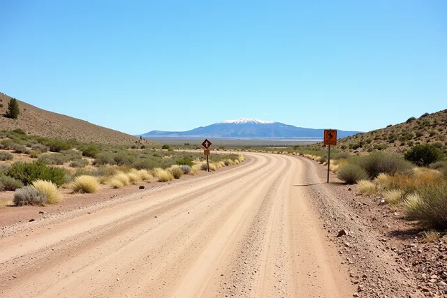
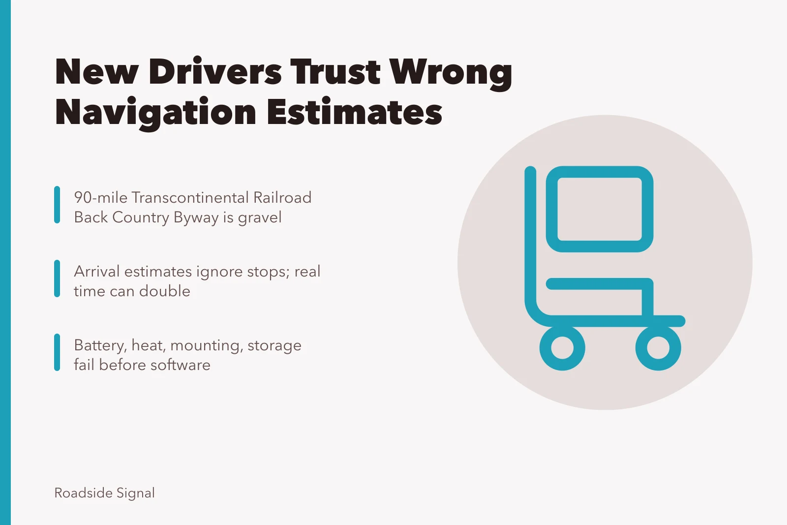
An app draws a road. It rarely tells you the road is 90 miles of gravel with no services. The BLM's description of Utah's Transcontinental Railroad Back Country Byway is the corrective. It is a 90-mile route beginning west of the Golden Spike site and following the old railroad grade past sidings, towns and trestles.
The page gives a direct instruction to carry plenty of water and spare tires and be prepared for gravel roads in a remote setting, plus interpretation at more than twenty sites along the way.
Two things follow. First, read the managing agency's page for any route you have not driven. Second, take the words spare tires literally, in the plural.
Trusting the estimated time
Arrival estimates assume a speed the surface may not allow and rarely account for stopping. On a scenic route with pull-offs, interpretation, and photographs, real elapsed time can double the estimate.
Plan from your own dwell times, not the app's arithmetic. After the first day, check the figure against your own log instead of arguing at every junction.
Confusing preview with visit
Screens are excellent preparation and poor substitutes. Agencies produce virtual material because it reaches people who cannot travel. The Fish and Wildlife Service published a virtual tour of the overwintering grounds of western monarch butterflies, explaining that the aim was to share the story with people who do not have the opportunity to visit in person.
Use that kind of material to decide whether a place is worth your two days. Do not use it to decide you have already been.
The practical failures nobody mentions
- Batterynavigation with the screen on drains a phone faster than most car chargers replace it.
- Heata phone in direct sun on a dashboard will throttle or shut down, usually at the worst moment.
- Mountinga phone sliding around a seat is a hazard and a missed turn.
- Storageoffline map regions are large, and a full phone will not download them.
All four are solved before departure with a proper mount, a shaded position, a second charger and some free space.
What experienced drivers do differently
They check the route on the agency page, download two apps with different data, and carry a printed description. The screen is one opinion among several. They set turn-back points in advance, the habit that separates a shortened day from a recovery call.
None of this is expensive or technical. It comes from having once been wrong somewhere with no signal and deciding not to repeat that.
Apply the review criteria in what to look for when reviewing navigation apps, and test the whole setup somewhere safe with a two-day itinerary that tests your navigation setup.