Guides
How to read a scenic byway route marker like a road historian
Scenic byway sign meaning, decoded: brown panels, national shields and state markers read as one system. Here is how the MUTCD rules decide what each one says.
What to take away
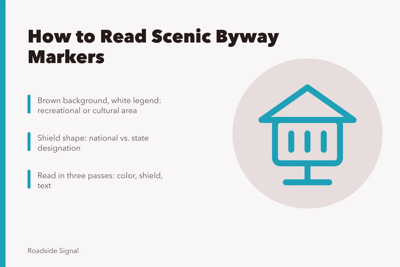
- A brown sign with white letters marks a recreational or cultural interest area under the MUTCD.
- The National Scenic Byway name and shield come from federal designation, not from the state that paints the panel.
- Read every marker in three passesbackground color, shield shape, then the text line beneath it.
- A state marker usually carries a route number. A national one carries the byway name.
- Signs say what a road is for. They never say whether it is open, paved or worth the drive.
Brown paint is the quickest clue on a scenic corridor and the most misread. Drivers take the color as a promise about scenery.
What a byway marker is actually telling you
The Manual on Uniform Traffic Control Devices assigns a brown background and white legend to recreational and cultural interest area signs. That is the whole federal rule on color. Everything else belongs to the state that installs the sign or to a designation program above it.
The FHWA design standards document the markers the federal government controls. State transportation departments adapt those drawings in their own manuals, which is why Utah and Colorado panels differ in shape while sharing the same brown.
A byway marker usually does two jobs at once. A brown panel names the corridor, and a route shield under it gives the number you navigate by.
The criteria matrix for telling markers apart
Four elements carry nearly all the meaning on a scenic corridor. The table sorts them by what each declares and what it refuses to say.
Four sign elements compared
Brown background
- Declares
- Recreational area
- Controlled by
- State DOT
- Leaves out
- Road condition
Named byway panel
- Declares
- Byway designation
- Controlled by
- FHWA or state
- Leaves out
- Plowing agency
Route marker
- Declares
- Highway number
- Controlled by
- State DOT
- Leaves out
- Byway extent
Heritage marker
- Declares
- Themed corridor
- Controlled by
- State or local
- Leaves out
- Federal standing
The criteria matrix
What it declares
- Brown background, white legend
- A recreational or cultural interest area
- Named byway panel
- The corridor holds a byway designation
- Route marker with a number
- The highway designation you navigate by
- Heritage or historic marker
- A themed corridor, often locally nominated
Who controls it
- Brown background, white legend
- State DOT, following MUTCD
- Named byway panel
- FHWA for national, state for state-level
- Route marker with a number
- State DOT
- Heritage or historic marker
- State or local program
What it leaves out
- Brown background, white legend
- Road condition, seasonal closures
- Named byway panel
- Which agency plows and repairs it
- Route marker with a number
- Whether the byway follows the whole route
- Heritage or historic marker
- Any federal standing
Read top to bottom on a real sign, the order matches what you see. A worked two-day highway itinerary shows how much buffer a corridor built on names alone needs.
Where each marker type is the right answer
A numbered route marker is the right answer when you need directions, a map match or a turn instruction for a passenger. Numbers survive re-routes. Names do not.
A named byway panel is the right answer when the corridor is the reason for the trip. It tells you the road was assessed for scenery, history or recreation.
A brown background alone is the right answer when you only need to know that a turn leads somewhere recreational. Trailheads, campgrounds and overlooks all carry it. If you keep a route log as you drive, five fields every entry needs is the version that survives a week on the road.
A heritage marker is the right answer when the road is the exhibit. These mark a corridor tied to one story.
How to choose between the close calls
- Start with the shield, because the number is the only part that works in a navigation app.
- Read the panel above it to learn whether the designation is national or state.
- If a brown sign carries no name, treat it as local wayfinding.
- Confirm the corridor on the National Scenic Byways Program list before you build a day around it.
Most arguments about a sign's meaning come down to step two. State and national byways can share pavement. A closed pass at dusk is a lodging problem, so where you sleep matters as much as the sign count does.
One limit shared by every byway sign
Every marker is static. None carries condition, closures or construction. A road can hold a designation and still be closed for winter or posted at a weight limit that turns a trailer around.
A byway sign is a claim about scenery and history. It is never a claim about the drive.
That gap is where wasted days start. Check the state travel information page before the marker decides for you.