Guides
Do state welcome centers still stock paper scenic byway maps?
State welcome center scenic byway maps survive in the Northeast, but stock depends on the last print run and how many staffed hours the building keeps.
What to take away
- Several Northeast states still print paper scenic byway maps, but the stock sits at staffed welcome centers, not unstaffed rest areas.
- The lobby door is the real gate. When the building closes, the brochure rack closes with it.
- To get a map before you leave home, send a request to the state tourism office and allow one to three weeks by mail.
- Ask for the byway map by name. A state highway map is a different product, usually with no byway detail.
- When the local number rings out, the state byway coordinator is the fallback contact.
Paper byway maps in the Northeast survive because states print them for people who ask, not because anyone keeps a deep shelf of them.
What a welcome center actually stocks
A state welcome center on an interstate is a rest area with a staffed counter, a brochure rack and a restroom. Most are run by a state tourism office rather than the department of transportation. A Wikipedia overview of welcome centers describes the model as a visitor information stop, close to what you find in the Northeast.
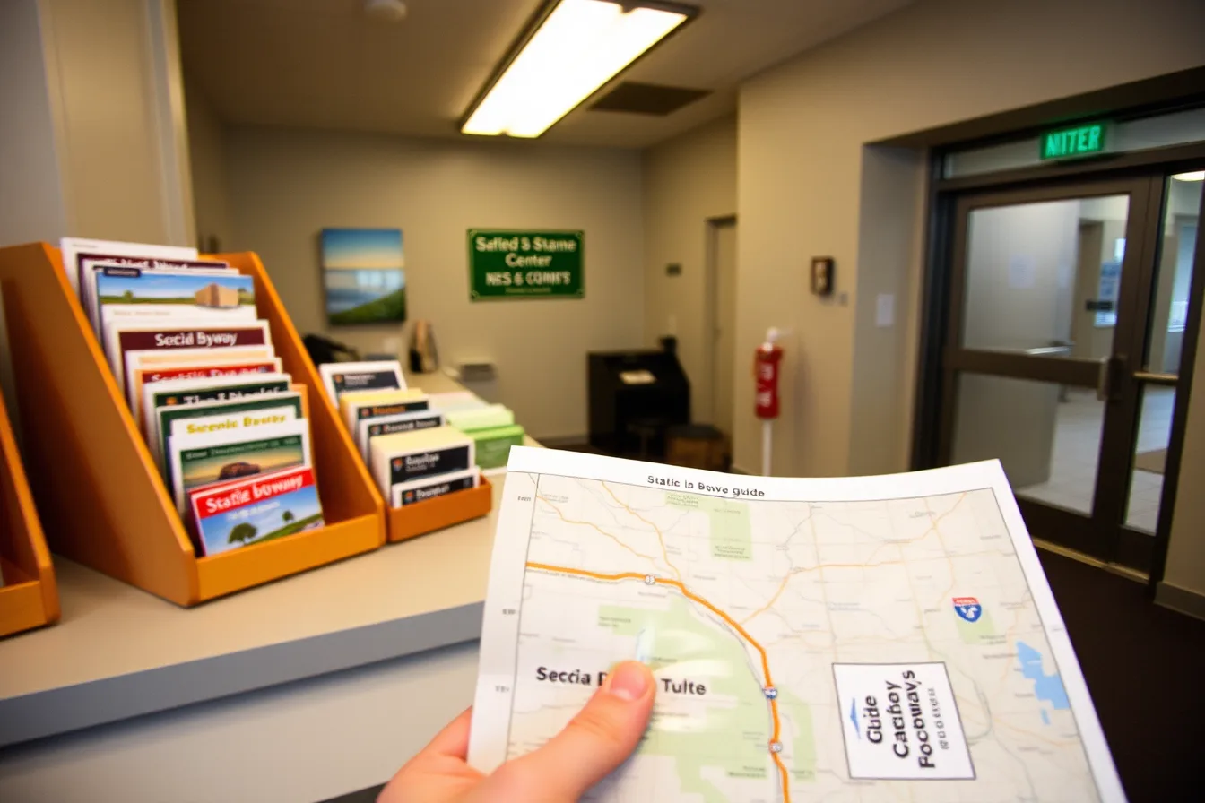
Decade-old scenic byway maps may remain at state welcome centers; stock varies by state and season.
One counter holds a printed guide for every designated route in the state; the next hands over a single state map and points you toward a regional tourism office. A staffed visitor center earns its place on a long drive for this reason.
What decides the answer is the printer, not the center. A byway map exists only when a state agency, a council of governments or a nonprofit association paid for a print run. When that run ends, the rack stays empty until the next one.
Where the paper actually comes from
Where it lives
- Proof a route is designated
- Federal Highway Administration byways program
- Current printed stock
- State tourism office
- Sign design and meaning
- FHWA design standards
- A copy by mail
- State byway coordinator
What it settles
- Proof a route is designated
- Whether the name on a sign is official
- Current printed stock
- Whether one counter carries paper today
- Sign design and meaning
- What a byway marker tells you at speed
- A copy by mail
- Whether a map reaches you before the trip
The National Scenic Byways Program publishes the designation list, and the FHWA byways site is the page to start from. A national scenic byway designation is what puts a route on a printed guide at all. The same site lists a coordinator for each state, which matters more than any rack.
Where to find byway map answers
What you want
- Route designation
- FHWA byways program
- Printed stock
- State tourism office
- Sign meaning
- FHWA design standards
- Copy by mail
- State byway coordinator
Where it lives
- Route designation
- Official name on sign
- Printed stock
- Paper at counter today
- Sign meaning
- Marker meaning at speed
- Copy by mail
- Map before the trip
What it settles
- Route designation
- Printed stock
- Sign meaning
- Copy by mail
Requesting a map before you drive
- Find the state office that prints the byway guide, usually tourism and sometimes the DOT.
- Send the scenic byway map request by email or the office form, naming the route and your dates.
- Allow one to three weeks for a mailed map. Some offices ship in days. Others batch requests monthly.
A call to the specific center beats any statewide promise. Ask what is on the rack this week.
Checklist for that call:
- Which byway guides are in print right now?
- Does this center carry them today?
- What are the staffed hours this month?
- Who mails a copy when the rack is empty?
Sort the room early, because where you sleep matters more than the exit where you cross the state line.
Opening times that catch people out
Opening hours come from the state agency that runs the building, not from a travel blog. The state tourism office or the department of transportation posts the current hours, and those hours move with the season.
Northeast centers commonly run longer hours from late spring through fall, then shorten them in winter. A few close the building entirely in the cold months and leave only the restrooms open. Arrive at seven in the morning in February and you may find the counter dark and the inner door locked.
What is not available, stated plainly
A locked lobby is the condition that prevents access. Outdoor brochure boxes are rare, and there is no self-serve cabinet after hours. If your first leg begins before the center opens, plan on collecting nothing that day. A short detour to a staffed counter is the only reliable fix.
Some states have stopped printing byway maps altogether. Their counters hand out a state highway map that shows the route number and little else. Others keep a digital copy on a tourism page, which helps only where you have signal. On a two-day run, a worked two-day itinerary shows what a missing map actually costs you.
Who to contact when the site says nothing
Start with the state byway coordinator. The national program page lists one per state, and that person knows which routes have current printed material.
If the coordinator does not answer, call the tourism office visitor services line and ask for the print inventory. Staff there can say which centers carry which guides. They can also confirm whether a mail order is possible, and how long it takes.
Travelers with access needs can see how building recovery time changes which centers are worth stopping for at all.
Common questions
Do welcome centers still hand out free paper road maps?
Often yes, where the state still prints them. The rack reflects the last print run rather than a policy.
Can I request a map online?
Many state tourism offices take requests by email or web form. Allow one to three weeks for delivery.
What happens if the center is closed when I arrive?
You leave with nothing that day. Outdoor map boxes are rare, so plan the first leg without paper.
Is a byway map the same as a state highway map?
No. A byway map names stops and viewpoints. A state map shows the route line and little else.