Reviews
Part of Scenic route case studies: the results and the conditions behind them
Do the claims in a scenic route case studies tour match the published data?
Using documented route case studies to judge guided trips: matching claims to published route data, testing timings and spotting itineraries built on nothing.
What to take away
- A case study gives you a measuring stick. Without one, every tour sounds reasonable.
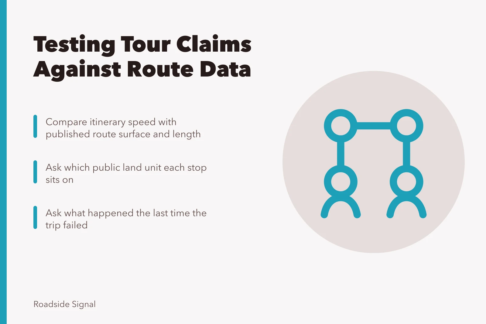
- Check the operator's timings against the route's published length and surface.
- Ask which specific unit of public land each stop sits on, then read that unit's page.
- The best question is what they did the last time it went wrong.
Once you have written or read a proper case study for a route, comparing tours becomes much simpler. You already know how long the driving takes, what the surface does to your average speed, and which stops repay time. The tour is now being measured rather than admired.
Match the itinerary against known route data
Take the operator's day plan and compare it with what the managing agency publishes: route length, classification, surface, seasonal status. If the itinerary implies an average speed the surface cannot support, ask directly.
Match Itinerary to Route Data
- Compare route length with published data
- Check classification and surface type
- Verify seasonal status and access rules
- Flag average speed the surface cannot support
- Ask which land unit each stop is in
Operators who run the route often will explain at once. Those who copied a brochure will not. A photographer's field list for scenic route case studies starts with the same surface and seasonal facts.
Knowing what kind of land you are on helps here. The BLM's national conservation lands cover over 38 million acres of national monuments, conservation areas, wilderness, wild and scenic rivers and national scenic and historic trails.
It notes many are remote while others sit close to communities, and different designations carry different rules and access. Asking which unit a stop is in is substantive, not pedantic.
Test the wildlife and seasonal claims
Tours built on wildlife make claims that can be checked against why a place exists. The Fish and Wildlife Service explains that refuges are birdy for a structural reason: the birds arrived first and the refuges followed. The system was largely built for birds, from Pelican Island in 1903 onward, with 51 bird refuges established by 1909.
Refuges Built for Birds
- 1903Pelican Island established
- 190951 bird refuges created
- NowSystem largely built for birds
That tells you the sites are where they are for a reason. It also lets you ask a sharper question: which species, in which month, and at what time of day. Which season actually suits a scenic routes trip best in 2027 depends on the same species timing and daylight windows.
Three comparisons a case study makes easy
| What you know | What to ask the operator |
|---|---|
| Real driving time on this surface | How long is the drive between stops two and three? |
| Dwell time that made a stop worthwhile | How long do you spend at each stop? |
| Where services actually are | Where do we eat, and what if it is closed? |
If the answers contradict your case study, one of you is wrong, and it is worth finding out which.
Ask about the last failure
Every operator who has run a route more than a few times has had a bad day on it. Ask what happened and what they did. That answer tells more than any itinerary and is the one question a copied brochure cannot survive.
An operator who describes a specific failure, names the substitute they used and says what they changed afterwards has told you more about the trip than a page of photographs.
Build the measuring stick first using scenic route case studies with budgets and lessons, and avoid the comparison traps set out in how to compare tours without repeating the usual mistakes.