Guides
Sorting American roadside attractions into four types worth knowing
How to sort American roadside attractions into four types, find the ones that publish real access details, and fit them into an honest driving day.
What to take away
- Roadside attractions fall into four rough classes, and each class fails in a different way.
- Public-land stops publish their own access details in writing. Most private ones do not.
- A driving day holds far fewer stops than a map suggests. Three unhurried ones beat seven rushed ones.
- Check hours, road surface and closures within a week of travel, not a month before.
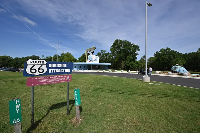
A roadside attraction is anything worth stopping the car for that was not your reason for leaving home. That includes a byway overlook, a folk art yard, a grain elevator mural, a preserved filling station, and a fiberglass animal in a parking lot.
The category is loose, and that looseness is the first problem a new planner meets. These stops publish different information, keep different hours, and disappoint in different ways.
Four kinds of stop, four kinds of risk
Sort your candidates before you plan anything around them.
Four Stop Types, Four Risks
Federal/state
- Documentation
- Official
- Planning value
- Rewards
- Main risk
- Closures
Civic
- Documentation
- Rare
- Planning value
- Neutral
- Main risk
- Undocumented
Private
- Documentation
- Family-run
- Planning value
- Neutral
- Main risk
- Hours
Abandoned
- Documentation
- None
- Planning value
- Punishes
- Main risk
- No access
Four kinds of stop
- Federal and state sites. Mapped, staffed, and described officially. Seasonal closures and road conditions are the usual surprise.
- Civic pieces. Murals, statues, painted water towers. Nearly always visible, rarely documented anywhere authoritative.
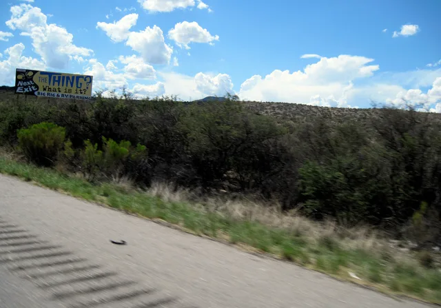
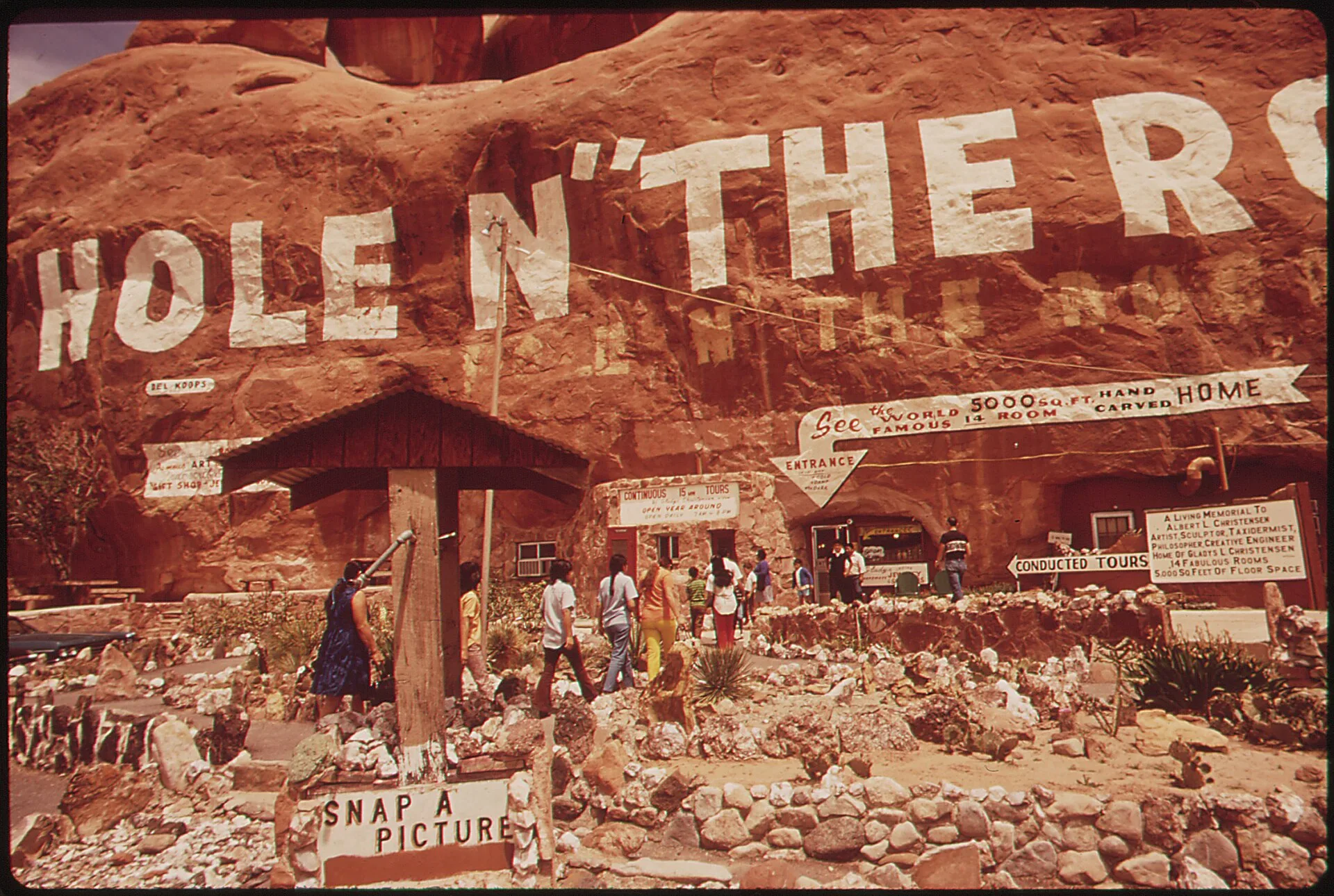
- Private businesses built around one object. A diner, a small museum, a gift shop. Hours often depend on one family.
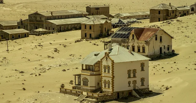
- Abandoned or half-abandoned sites. No hours, nobody answering, and sometimes no legal access at all.
Bucket one rewards planning. Bucket four punishes it. Trip regret usually comes from treating them the same.
Where the reliable information lives
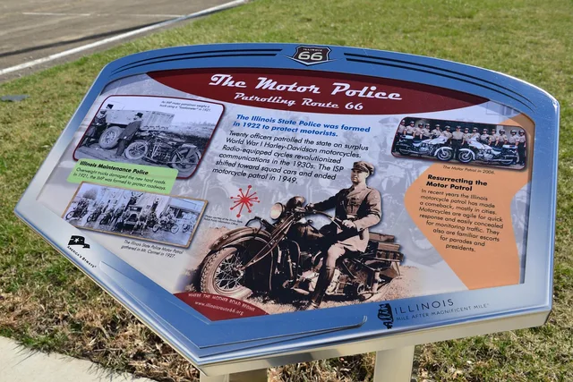
For anything on public land, the managing agency is the primary source. Read it before any third-party list. The Bureau of Land Management publishes its Back Country Byways state by state, describing them as less-traveled routes that form part of the National Scenic Byways Program and running from Arizona through Wyoming.
Public Land by the Numbers
- 570+national wildlife refuges
- 38wetland management districts
- 1 yearage limit for a lead
The U.S. Fish and Wildlife Service counts more than 570 national wildlife refuges plus 38 wetland management districts. Its refuge pages carry hours, trails and current conditions.
Civic and private stops have no equivalent. For those, the useful sources are a phone number, a dated photograph, and a local newspaper item. Treat anything older than a year as a lead rather than a fact.
Build the day around driving time, not stop count
Take your total driving hours, subtract fuel and food, and divide what is left by forty minutes. That is roughly your honest stop count. Forty minutes is parking, walking over, looking, photographing, and getting back on the road. Sites with a visitor center or a gravel approach road need more.
Put the fragile stops early. A place that closes at four is worth reaching by two. A place that stays visible from the shoulder can absorb a late arrival without wrecking the day.
Judge a stop before you drive to it
Four questions settle most of it. Can I confirm it still exists? Can I park legally? Is there anything to do beyond a two-minute photograph? What if it is closed when I arrive? A stop that fails the last question should never justify a long detour.
Our list of stops worth adding to a longer trip applies that filter to specific kinds of site.
When a place cannot be verified
Some attractions cannot be confirmed in advance. That is normal; do not invent confidence. Mark it unverified, put it on a route you were driving anyway, and decide now what to do if it is gone.
Never plan a fuel stop, a meal or an overnight around a site you could not confirm. Where money changes hands, the questions worth asking before you pay come first.
Common questions
How many roadside stops fit in one driving day?
Are official sites better than oddities?
Do I need a permit for roadside photography?
What is the most common planning mistake?
In this guide
- Roadside attractions booking: what to ask before you payBefore you pay for a roadside attractions booking, ask what the fee covers, who sells it, the timing rules and the closure policy.
- Roadside Attractions Field Photography TipsRoadside attractions field photography tips on light, lens choice, framing, a six-frame shot list, and checking site rules before you shoot.
- Roadside Attractions Tours: Questions to AskA roadside attractions comparison starts with the right questions: check stop time, route access, timing, group size, guide details and included fees.
- Roadside attractions detours: ghost towns, overlooks and the sites worth itNamed ghost towns, overlooks and historic sites that repay a detour, with the access, hours, parking and walking each roadside attraction actually offers.
- Five cost lines, one padding line: a roadside attractions weekend budgetThe real cost lines of a two-day roadside attraction weekend: fuel, beds, site fees, food and the padding that keeps a schedule from collapsing.