Guides
How to Read Scenic Route Signs and Roadside Attractions on a Drive
Scenic route signs and roadside attractions make more sense when you separate what you see from what a source states. Here is how to read both on a drive.
What to take away
- Read the sign before the plaque.
- Separate what you observe from what a source states, then date both.
- A photograph shows appearance on one day, not cause or condition.
Start with the marker, not the memory
The Manual on Uniform Traffic Control Devices sets sign colors and shapes. Brown marks recreational and cultural interest sites.
Our guide to reading a scenic byway route marker like a road historian covers the shield and the banner.
What a photograph of a sign can prove
A camera is a good witness and a poor historian. It records how a sign looked on one afternoon, in one kind of light.
| Evidence | What it supports | What it cannot carry |
|---|---|---|
| Photograph of a marker | Color, shape and wording that day | Why the route was designated |
| Byway listing | Official name and managing agency | Current road conditions |
| Plaque text | Wording and named sponsor | Accuracy of the story told |
A baseline note beats a folder of impressions. Write it on the day, not from memory the next week.
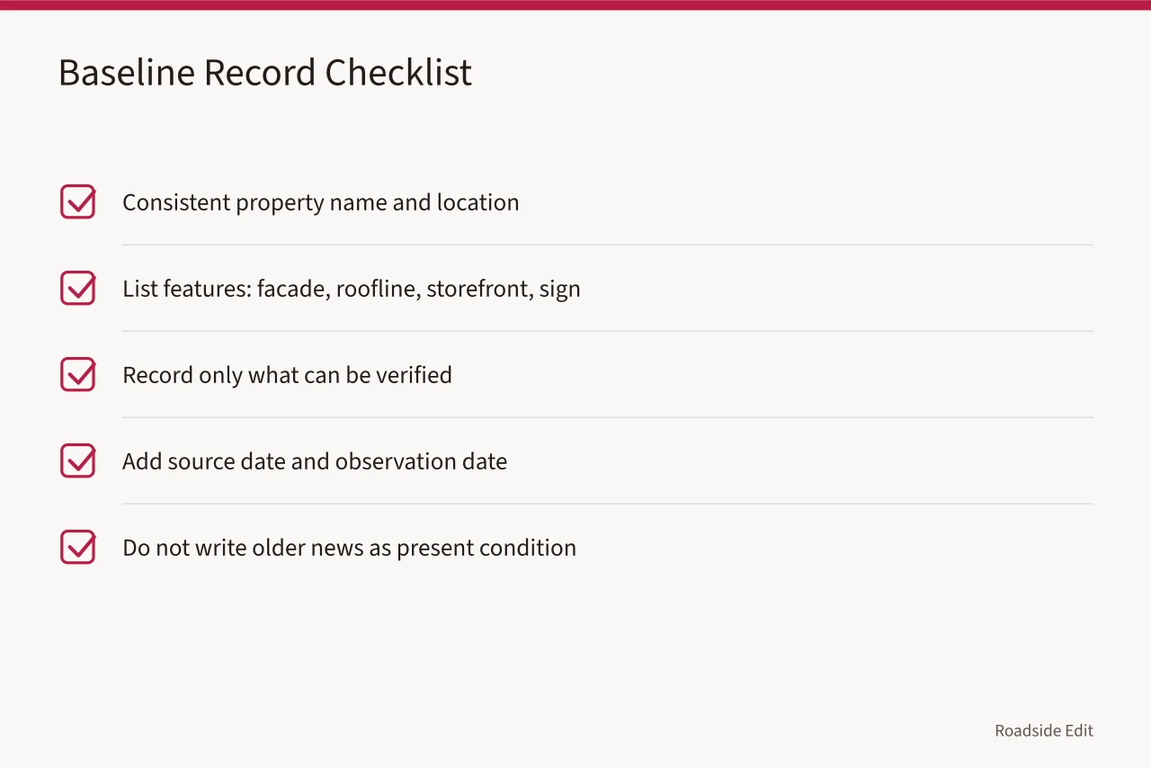
Example: a 1960s motel sign on a US highway
Suppose you stop at a motel on an old alignment of Route 66. The neon reads MOTOR COURT and one letter is dark.
Pricing a repair is another job. Our piece on what vintage neon sign restoration tours cost explains why operators quote ranges rather than single figures.
Check the official record before you name a route
Designations belong to a record, not to a memory. The National Scenic Byways Program lists designated roads with their official names and managing agencies.
Spell the route the way that listing does. A wrong name in a caption outlives the trip.
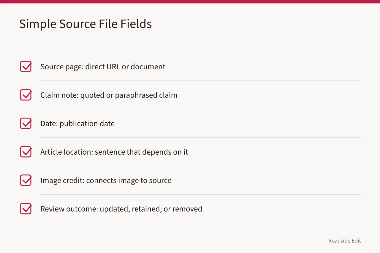
Agency pages carry their own publication dates. Note when the page appeared and when you read it.
Names also migrate. A road can carry a byway name and a state route number at once, and signs will show both.
New Mexico State Road 14, the Turquoise Trail, links Albuquerque and Santa Fe through Madrid and Cerrillos. Its brown markers carry the byway name rather than the route number.
The listing also names the managing agency for each road. That office answers questions about missing or damaged markers.
We traced why the Turquoise Trail roadside signs reward a slower drive on the climb north of Madrid, past the old mining camps.
Where paper maps still beat a phone screen
State welcome centers hand out printed route maps, and staff usually know which byways are worth the detour.
A paper map often marks byway boundaries more clearly than a phone screen at highway speed.
Some states print separate byway booklets with pullout listings, route notes and descriptions of each stop.
Counties and towns sometimes publish their own routes, and those sheets sit in the same rack.
Ask about seasonal closures before you leave the counter, because a printed sheet can lag a fresh detour.
Take the booklet even if you plan to drive with a phone.
A folded map still works when a phone battery dies on a mountain pass.
Photograph the cover if you plan to write about the road later, and note the printing date.
Mile markers on a printed byway map rarely match a phone's distance readout, which is worth knowing before you write a caption.
Do state welcome centers still stock paper scenic byway maps? covers what to ask for at the counter.
Historical markers name their sponsors
A roadside marker is a claim with a sponsor, and the sponsor belongs in your notes.
A marker is a claim with a sponsor. Name the sponsor before you repeat the claim.
Marker text is usually written by the group that paid for the post, and the wording shows it.
Some markers were installed by civic groups and later replaced by state programs, so the wording changes over time.
Compare the plaque date with the event it describes, because anniversary markers often appear decades later.
Write down the sponsor, the year and the exact wording before you drive on.
Iowa documents its marker program route by route, which makes the state a good place to compare plaque text against the road itself.
Seven Iowa roadside attractions with official historical markers worth a detour lists stops where the marker is the reason to pull over.
A checklist before you write up a roadside attraction
- Name the road, the marker color and the managing agency.
- Date the photo and note where you stood.
- Quote the plaque instead of paraphrasing it.
- Label owner or provider statements as submissions.