Guides
Seasonal risks on US scenic byways: flash floods, heat and snow
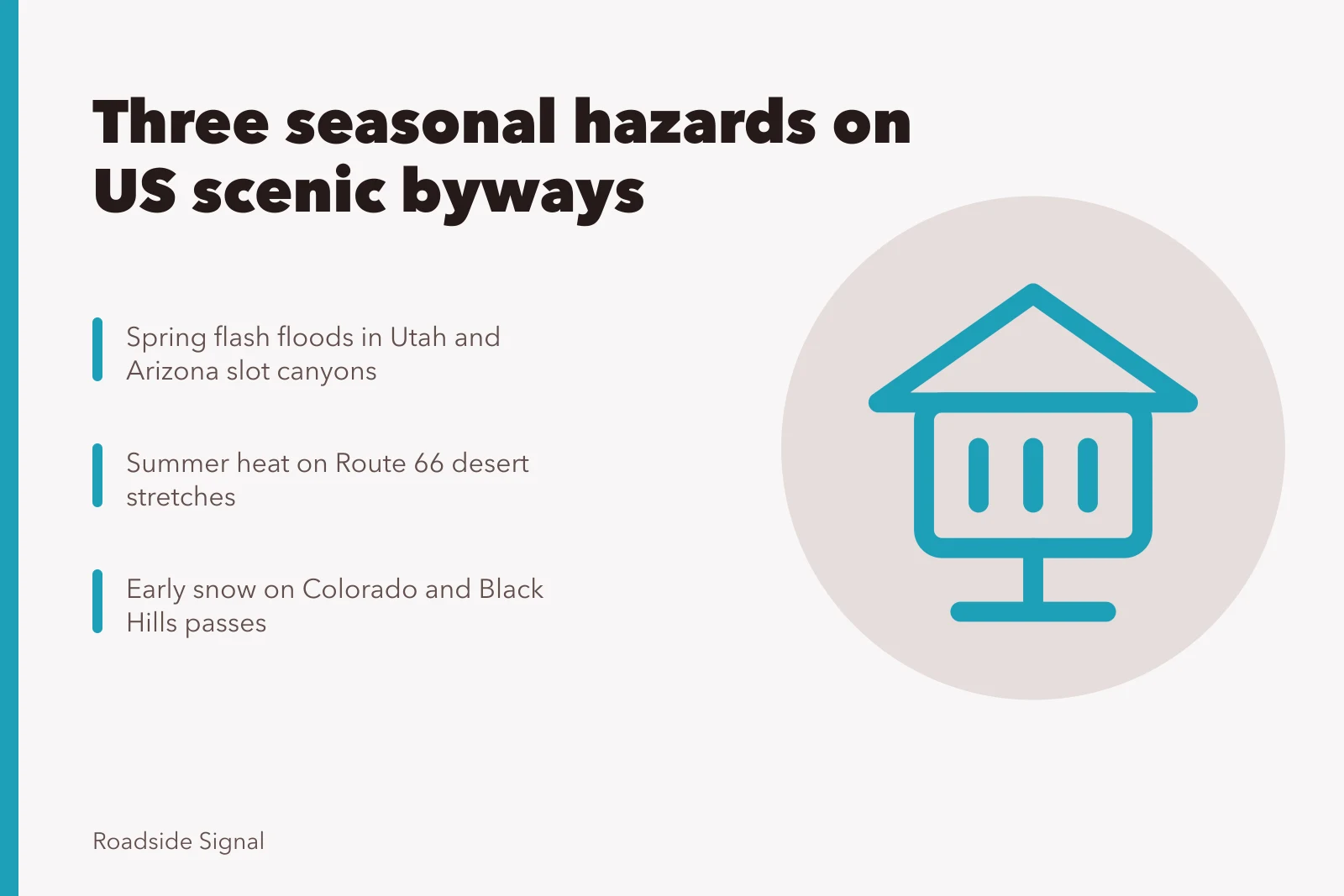
US scenic byway seasons carry three risks: spring flash floods in Utah and Arizona canyons, heat on Route 66, and early snow on Colorado and Black Hills passes.
What to take away
- US scenic byway seasons break into three hazard windowsspring runoff in Utah and Arizona canyons, summer heat on the Route 66 corridor, and early snow on Colorado and Black Hills passes.
- A flash flood can reach a slot canyon while the sky over your head stays clear, because the storm may be miles upstream.
- Heat is the quiet hazard on Route 66. Desert stretches in California, Arizona and New Mexico put long gaps between services.
- Colorado high passes and the Black Hills can take snow in September and October, before most drivers check for it.
- NOAA forecasts and local weather checks decide whether a roadside stop is safe today, not the calendar alone.
- OSHA heat guidance gives a workable summer schedule for outdoor stops: water, rest, shade and time to acclimatize.
Three seasonal hazards, three different byway regions
A scenic byway is a road with a story attached. The Federal Highway Administration runs the National Scenic Byways Program and the America's Byways resource center. The National Park Service manages park roads and parkways, and the US Forest Service designates scenic byways on national forest land.
Seasonal hazards by region
Utah/Arizona canyons
- Season
- Spring
- Hazard
- Flash floods
- Risk window
- April-May
Route 66 corridor
- Season
- Summer
- Hazard
- Heat
- Risk window
- July
Colorado/Black Hills
- Season
- Fall
- Hazard
- Early snow
- Risk window
- September-October
State departments of transportation run their own byway programs. The Bureau of Land Management marks backcountry byways across the desert West.
All of that infrastructure sits outdoors. Weather decides when it is usable.
The three hazard windows do not overlap neatly. Spring on the Colorado Plateau is a runoff season. Summer along Route 66 is a heat season. Fall in the Rockies and the Black Hills is a snow season that arrives earlier than most trip calendars assume.
If you are weighing which season suits a scenic routes trip, start with the hazard you are least equipped to handle, then plan around it. A driver with air conditioning and a full cooler handles Route 66 in July better than a hiker handles a flooded slot canyon in April.
Region matters more than month. The same week in May can be mild in the Appalachians, windy in the Texas Panhandle and dangerous in a Utah canyon.
Roadside stops are where the risk concentrates. Driving past a flash flood zone is different from parking in one and walking into it. The hazards below are mostly stop hazards, not driving hazards.
Spring flash floods in Utah and Arizona canyons
Spring flash floods in Utah and Arizona canyons come from a simple mismatch. Thunderstorms drop rain on high ground, and the water runs fast into narrow drainages far from where the rain fell.
The National Weather Service keeps a flood safety resource page that explains the mechanics and the warnings. The core point for byway drivers: a flash flood warning can cover a canyon you are standing in while the sky over your head stays blue.
Utah and Arizona hold the densest concentration of slot canyons in the country. Many sit off byways rather than on them, which is exactly why they matter here. A scenic drive becomes a roadside stop, and the stop becomes a walk into a drainage.
Spring is the risk window because snowmelt and early monsoon moisture both feed runoff. The Colorado Plateau snowpack releases through April and May. The North American Monsoon typically builds in July and August, adding a second, shorter window.
Warning signs to read before you park:
- Recent rain anywhere in the watershed, not just at the trailhead
- A forecast calling for thunderstorms within the day
- Dark clouds upstream of the canyon mouth
- Any sound of moving water where you expected silence
- A narrow exit you would have to climb to escape
- No high ground within a short walk of your position
If two or more boxes are checked, skip the walk. The canyon will still be there next spring.
Flash flood water is not just deep. It carries mud, rock and debris, and it moves faster than a person can run on slickrock. The National Weather Service guidance is blunt about not entering low ground during a warning.
Cell coverage in canyon country is patchy. Download forecasts before you leave the last town, and tell someone your route. A byway stop with no water, no shade and no signal leaves you as the only safety system, which is the case that no water, no shade packing advice is written for.
Summer heat on the Route 66 corridor
The Route 66 corridor crosses seven states:
- Missouri
- Kansas
- Oklahoma
- Texas
- New Mexico
- Arizona
- California Summer heat on the Route 66 corridor is not uniform, but the western half carries the sharpest edge.
The desert stretches between Barstow and Needles, and across much of Arizona and New Mexico, put long distances between services. A breakdown or a wrong turn in July can turn a roadside stop into an exposure event.
The National Weather Service keeps a heat safety resource page covering the warning products and the precautions. Heat illness builds in stages, and the early stage is easy to dismiss as ordinary tiredness.
Signs that a stop has gone wrong:
Heat illness warning signs
- Headache, dizziness or nausea after short exertion
- Skin hot and dry, or sweating stops
- Confusion or slurred speech in anyone
- Vehicle thermometer well above body temperature
- No shade within a short walk
Heat risk is highest in the afternoon. Morning stops on the Route 66 corridor are cooler, quieter and easier on tires. Pavement temperatures run above air temperatures, so a walk across a parking area is its own exposure.
Water is the other variable. A car should carry more than the trip needs, because desert stretches offer few refill points. If you want to know what to pack when a trip centers on scenic routes, water capacity is the item that changes most between spring and summer.
Air conditioning is not a plan. It is a delay. If the vehicle fails, the schedule you built around it fails too.
Early snow on Colorado and Black Hills passes
Early snow on Colorado and Black Hills passes arrives before most drivers check for it. High passes in Colorado can see snow in September and October, and the Black Hills of South Dakota get early season snow that catches travelers on the way to Mount Rushmore and Custer State Park.
The National Weather Service keeps a winter safety page covering the products and the driving hazards. The relevant point for byway timing is that pass closures and traction requirements can begin weeks before the first snow in the valley below.
Elevation drives the difference. A town at 5,000 feet may be clear while a pass at 11,000 feet is icy and windy. Byway segments that cross the Continental Divide are the ones to check first.
What changes in shoulder season:
- Traction laws and chain requirements on mountain passes
- Shortened daylight, which compresses a driving day
- Closed seasonal roads and locked gates on forest byways
- Ice in shaded curves that stays after the road surface clears
- Fewer open services in small mountain towns
Snow also changes the value of a roadside stop. A pullout with a view is worth ten minutes in July and two in a cold wind. Plan shorter stops, and keep a warm layer within reach rather than in the trunk.
Fall color season overlaps with early snow in both regions. That combination draws crowds and slows traffic on the same roads where conditions are turning. Build slack into the day, and treat the published time as a minimum when you plan stops.
Reading NOAA forecasts before a roadside stop
The National Oceanic and Atmospheric Administration publishes the weather data and forecasts that the National Weather Service uses for warnings. The NOAA weather page is the starting point for flash flood, heat and snow risk reporting.
Forecast check before parking
- Check forecast for nearest town
- Read hazardous weather outlook
- Look at active watches or warnings
- Check radar upstream of canyon
- Note sunset and next service distance
A forecast is only useful if you read it for the right thing. For a byway stop, you want three answers: what is happening now, what is expected within six hours, and what the warning products say.
A practical sequence before you park:
- Check the current forecast for the nearest town, not the byway name.
- Read the hazardous weather outlook for the day.
- Look at any active watches or warnings for the county.
- Check radar for rain upstream of any canyon you plan to enter.
- Note the time of sunset and the distance to the next service.
Forecast points are towns, not pullouts. A canyon mouth can sit 30 miles from the nearest reporting station and behave differently. Use the town forecast as a floor, then read the terrain.
Local checks matter as much as the national feed. Visitor centers, ranger stations and state DOT road condition pages carry closures, chain requirements and construction that a weather forecast will not mention.
Radar is the tool people skip. A loop showing storms building west of your position tells you more about a canyon than any hourly temperature. If you are comparing spring flash floods compared with summer heat, radar use is the habit that carries across both.
Timing stops around OSHA heat guidance
The Occupational Safety and Health Administration publishes heat illness guidance for outdoor workers. The overview describes the risk factors, the symptoms and the prevention steps.
You are not an outdoor worker on a road trip, but the logic transfers. OSHA guidance centers on water, rest, shade and acclimatization, and those four items map directly onto a summer byway day.
Acclimatization is the piece most travelers ignore. A body needs time to adjust to heat, and a driver arriving from a cooler state is not adjusted on day one. Keep the first hot day short.
A workable summer schedule for the Route 66 corridor:
Summer Route 66 schedule
- Long driving before 10 a.m. and after 4 p.m.
- Stops in shade or indoors midday
- Water within arm's reach at all times
- Rest break every couple of hours
- Written plan if the vehicle fails
Heat illness is preventable and it is also cumulative. Two hard days in a row leave you more vulnerable on the third. Build a lighter day into any desert stretch.
If someone in the group shows confusion or stops sweating, that is an emergency, not a rest stop. Move to shade, cool the person and call for help.
A seasonal risk table by region
| Region and byway type | Main hazard window | Primary risk | What to check |
|---|---|---|---|
| Utah and Arizona canyon country | Spring, plus monsoon | Flash floods in slot canyons | Upstream radar and flood warnings |
| Route 66 corridor, western states | Late spring through early fall | Heat illness and exposure | Temperature, water supply, shade |
| Colorado high passes | September through October | Early snow and ice | Pass conditions and traction rules |
| Black Hills, South Dakota | September through October | Early snow and cold wind | Local forecasts and road closures |
| Appalachian byways | Spring and fall | Storms, fog, wet pavement | Local forecasts and daylight hours |
The table is a starting filter, not a verdict. Conditions vary within a single byway, and a pass can close while the valley stays open.
Use the table to pick your season, then use forecasts to pick your day. The two decisions are separate, and mixing them is how trips go wrong.
Common questions
When is flash flood risk highest in Utah and Arizona canyons?
Spring, when snowmelt and early moisture feed runoff, and again during the summer monsoon. The sky above you is not a reliable indicator, so check upstream radar and flood warnings.
Is summer heat really a problem on Route 66?
Yes, mainly in the desert stretches of California, Arizona and New Mexico, where services are far apart. Heat illness builds over hours, and a vehicle breakdown turns a stop into an exposure event.
How early can snow hit Colorado and Black Hills passes?
High Colorado passes can see snow in September and October, and the Black Hills get early season snow in the same window. Check pass conditions and traction requirements before you commit to a route.
Where do I check forecasts before a roadside stop?
Start with the NOAA weather page, then read the local National Weather Service forecast for the nearest town. Add state DOT road condition pages for closures and chain rules.
What does OSHA heat guidance change for a road trip?
It gives you a schedule: water, rest, shade and time to acclimatize. Keep the first hot day short and move heavy outdoor stops out of the afternoon.
Can I plan a byway trip a year ahead?
You can pick the season a year ahead. You cannot pick the day. Treat the calendar as a filter and the forecast as the decision.